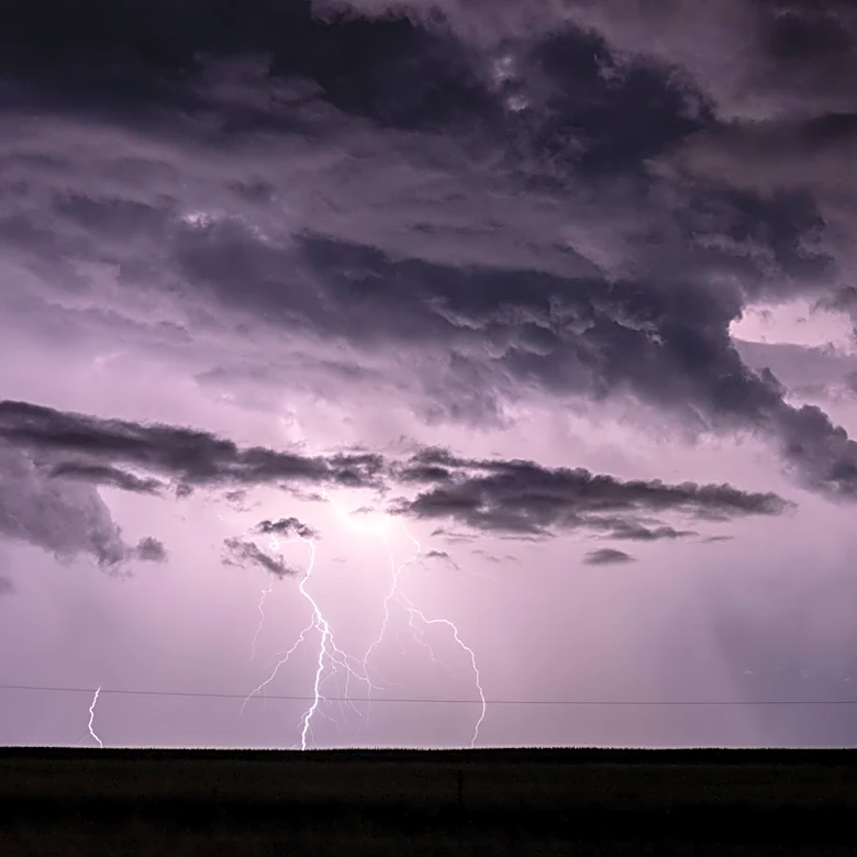
Severe Microbursts and Flash Flooding Mark July 2026 Weather Events
July 2026 saw significant weather events across Indiana, including severe microbursts, heavy rainfall, and flash flooding. On July 4, several microbursts were recorded, accompanied by radar-visible storms and flooding rainfall. Rainfall totals reached up to 7 inches in some areas, with flash flooding reported in northern Warren, Tippecanoe, and northwestern Clinton counties. Additional flash flooding occurred in northern Carroll County and eastern Howard County. Wind gusts from microbursts reached up to 60 mph, causing tree damage in Carroll and Cass counties. Funnel clouds were observed in Benton, White, and Clinton counties, while hail up to quarter size was reported north of Clymers.