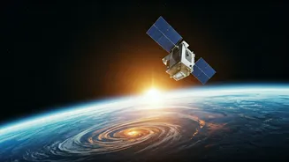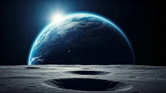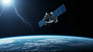


Unveiling Space Weather's Link
Earth's atmosphere crackles with lightning, a familiar yet powerful phenomenon. Scientists are now deploying a compact NASA satellite, the CubeSat for
the study of ionospheric phenomena (CUSP), to explore how these terrestrial electrical discharges profoundly influence the space weather surrounding our planet. This ambitious mission aims to unravel the intricate pathways through which lightning's energy propagates upwards, impacting the ionosphere and potentially reaching the magnetosphere. By precisely measuring these interactions, researchers hope to develop more accurate models for predicting space weather events. Such events are critical, as they can disrupt satellite communications, compromise navigation systems, and even pose risks to terrestrial power grids, highlighting the far-reaching significance of understanding this atmospheric-space connection.
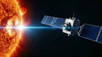
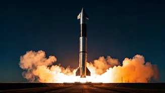
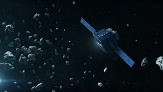
CANVAS Mission Details
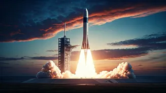
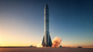
The CANVAS (Climatology of Anthropogenic and Natural VLF wave Activity in Space) mission represents a significant step in leveraging small satellite technology for crucial scientific inquiry. This 4U CubeSat, launched on April 7, 2026, aboard a Minotaur IV rocket from Vandenberg Space Force Base, is specifically designed to monitor very-low-frequency (VLF) radio waves. These waves are generated by both natural lightning events and human-made transmitters on Earth. Orbiting our planet, CANVAS meticulously tracks the journey of these VLF signals as they traverse the ionosphere and extend into the magnetosphere. The satellite is equipped with sophisticated instruments, including a three-axis magnetometer and a two-axis electric field sensor, which work in tandem to precisely measure the power and direction of these enigmatic radio waves.
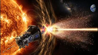
Mapping VLF Wave Activity
By comparing the data collected by its onboard sensors with ground-based observations of lightning activity, the CANVAS mission is constructing a comprehensive global 'climatology' of VLF wave propagation. This means scientists will gain an unprecedented understanding of how these waves, originating from both natural atmospheric electrical discharges and terrestrial broadcasting, travel through near-Earth space. The collected data will shed light on the energy transfer mechanisms from our planet's surface into the vast expanse of the magnetosphere. This detailed mapping is essential for understanding the complex interplay between Earth and its space environment, forming a crucial foundation for future space weather forecasting and mitigation strategies.
Impact on Space Weather
The significance of the CANVAS mission extends to its direct implications for space weather research and its practical applications. By studying the effects of VLF waves from both natural lightning and human-generated sources, the mission will illuminate how these signals influence the near-Earth space environment. A key area of investigation is how these waves can disperse electrons within the magnetosphere, a process that has direct consequences for the functioning of satellites and the safety of astronauts. The knowledge gained from CANVAS is expected to lead to the development of more robust space weather models. This, in turn, will be instrumental in protecting vital space-based infrastructure and ensuring the safety of human activities beyond Earth's atmosphere, all within the satellite's one-year operational lifespan.