


Discover how satellites revolutionize weather forecasting in India, enhancing disaster preparedness and economic stability. Read more
The Indian monsoon, unpredictable cyclones, and changing weather patterns
significantly impact agriculture, infrastructure, and daily life across India. Accurate weather forecasting is vital for disaster preparedness, resource management, and economic stability.
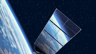
In recent years, satellite technology has brought about a revolution in weather forecasting, providing more precise and timely information than ever before.
Weather satellites improve weather forecasting for various benefits
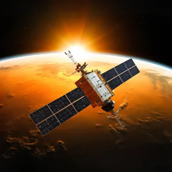
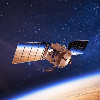
Weather satellites act as eyes in the sky, observing our planet from space. These satellites are equipped with advanced sensors that collect data on various atmospheric parameters, like temperature, humidity, cloud cover, and wind speed.
This data is then transmitted to ground stations, where supercomputers crunch the numbers, creating detailed weather models.
These models, along with the satellite data, help meteorologists create more accurate weather forecasts that benefit farmers deciding when to sow crops, fishermen planning their voyages, and city administrators preparing for heavy rainfall.
The improved accuracy contributes greatly to our nation's resilience against weather-related challenges.
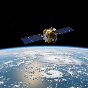
Satellites enhance weather forecasting with comprehensive coverage
Before satellites, weather forecasts relied heavily on ground-based observations from weather stations, ships, and balloons. These observations were limited in geographical coverage, especially over oceans and remote areas.
Satellites provide a comprehensive view of the entire atmosphere, filling in the gaps and providing data from regions where ground-based observations are scarce.
This enhanced coverage is particularly beneficial for monitoring cyclones forming over the Bay of Bengal or the Arabian Sea, enabling timely warnings and evacuation efforts to minimize the impact of these devastating events.
The ability of satellites to see the big picture makes a world of difference.
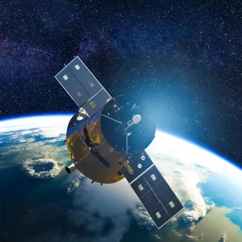
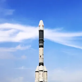
Insat satellites enhance weather forecasting in India
The INSAT series of satellites, operated by the Indian Space Research Organisation (ISRO), have been instrumental in improving weather forecasting capabilities in India.
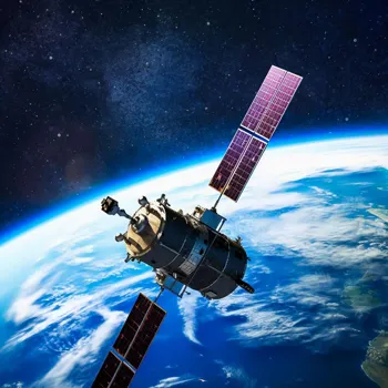
These satellites provide continuous and real-time monitoring of the Indian subcontinent, capturing images of cloud formations, temperature profiles, and rainfall patterns.
The data from INSAT satellites is used by the India Meteorological Department (IMD) to generate weather forecasts for various regions of the country.
These forecasts not only help in predicting monsoon patterns but also play an important role in tracking and predicting severe weather events, therefore ensuring timely action.
Satellites use various sensors for weather data
Satellites use different types of sensors to gather information, each providing a unique perspective on the atmosphere. Visible sensors capture images of clouds and the earth's surface, similar to a regular camera.
Infrared sensors measure the temperature of clouds and the ground, providing information about cloud height and atmospheric stability. Microwave sensors can penetrate clouds to detect rainfall and measure soil moisture.
By combining data from these various sensors, meteorologists can create a comprehensive picture of the current weather conditions and predict future weather patterns. These different sensors support a comprehensive understanding.
Advancements in satellite tech improve weather forecasts, aid disaster management, and reduce risks
The advancements in satellite technology have led to significant improvements in the accuracy and lead time of weather forecasts. Today, we can predict weather events several days in advance, allowing people to take necessary precautions.
For example, accurate cyclone tracking helps in evacuating people from coastal areas before the storm makes landfall, saving lives and minimizing property damage.
Similarly, accurate rainfall forecasts help farmers plan their planting and harvesting schedules, reducing crop losses due to droughts or floods. The benefits extend to various sectors, from aviation and transportation to tourism and disaster management.
The advanced warnings allows for effective preparedness, leading to reduced risk.