


What is the story about?
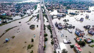
In a big move, a Real-Time Flood Forecasting and Spatial Decision Support System (RTFF & SDSS) has become completely operational in Chennai, making it
the first Indian city to launch real-time flood forecasting. Chennai frequently witnesses heavy flooding, and with the help of this technology, accurate forecasting can save lives and minimize damage in the city.
Here's how it will work
Estimated to cost around Rs 107.2 crores, the Chennai RTFF and SDSS is the first-of-its-kind in India will cover lakes, rivers, storm water drainage system and the sea.
It aims to provide not only reliable forecasts of river and tank water levels but also street-level flood predictions for vulnerable city areas like Pulianthope, Nungambakkam, Mambalam, Saidapet, Velachery, Meenambakkam, and Mudichur.
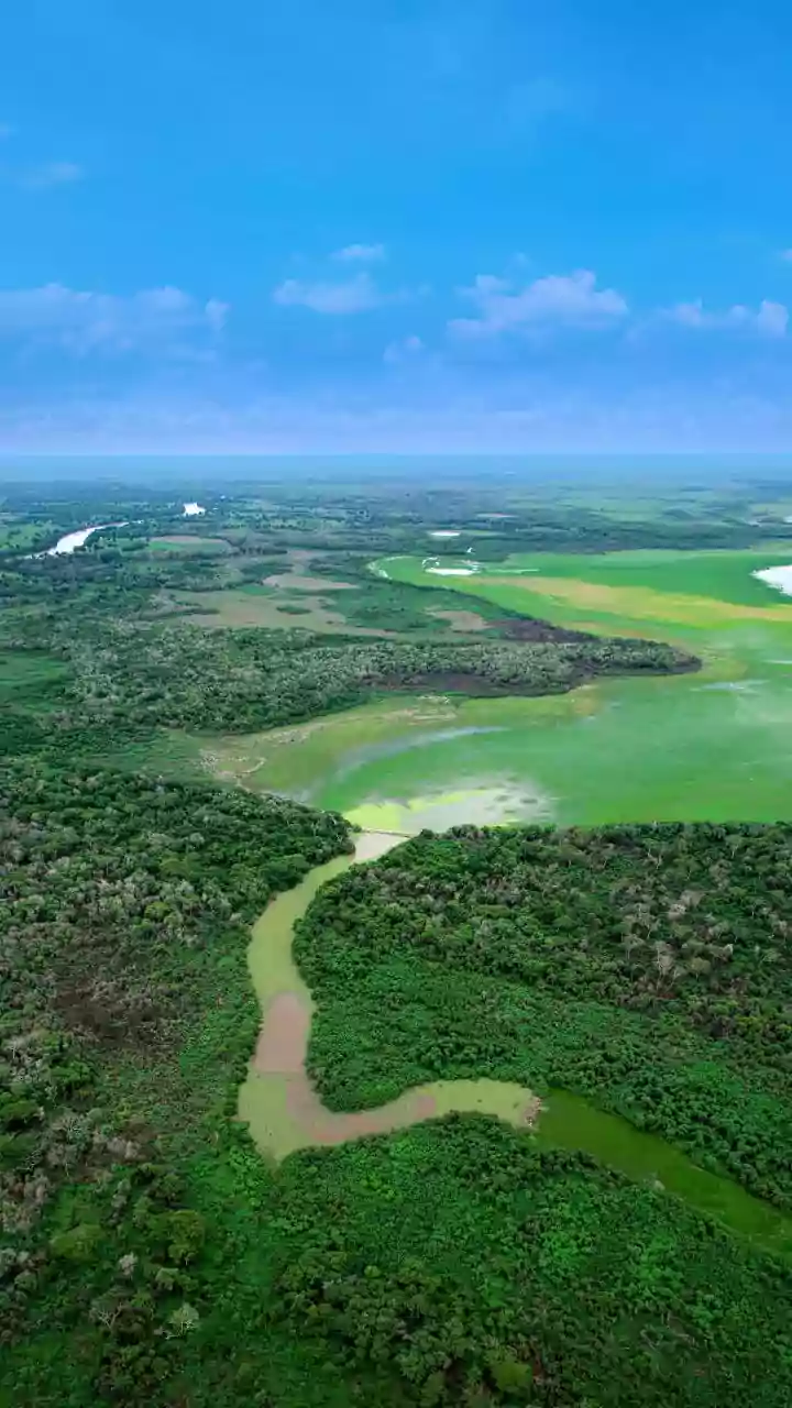
Although its focus area is Chennai, the system covers an area of approximately 4974 sq km, including Chennai, Tiruvallur, Kancheepuram, Chengalpattu and Ranipet districts. Moreover, it will focus on important river sub-basins, including Adyar River, Cooum River, Kosasthalaiyar River, and Kovalam River.
Also Read: Chennai Braces For Heavy Rain, Power Cuts, Waterlogging Amid IMD's Alert; Check Region-Wise Forecast
What is RTFF and SDSS?
The Real-Time Flood Forecasting and Spatial Decision Support System is an advanced technological system that helps in gathering real-time data to monitor and predict flood events.
Here's what it includes?
Automatic Rain Gauges (ARGs)
Automatic Weather Stations (AWS)
Automatic Water Level Recorders (AWLRs)
Gate Sensors (GS)
These tools collect high-resolution hydrometeorological data to inform decision-makers and local authorities about the forecast.
The project was funded by the World Bank under the Project Development Grant Fund (PDGF) and implemented by Tamil Nadu Urban Infrastructure Financial Services Limited (TNUIFSL).