





What is the story about?
As the exact chain of events behind the devastating floods in Nepal continues to be investigated, preliminary scientific assessments point to an ice-rock
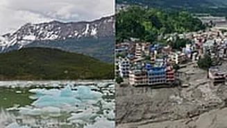
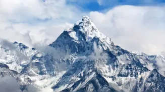
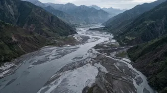
avalanche or glacial collapse in the high Himalaya as a possible trigger for the catastrophic flash flood that swept through parts of Nepal and Tibet on August 26, leaving over 800 people dead. According to the World Meteorological Organisation (WMO), scientists from the International Centre for Integrated Mountain Development (ICIMOD) and partner institutions are investigating whether a large volume of ice and rock debris entered the Lhende Khola, temporarily blocking the river and creating a sudden surge of water, sediment and boulders downstream. Follow Nepal floods LIVE updates here
What data shows
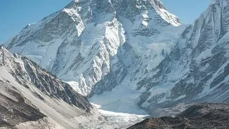
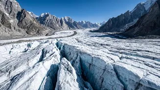
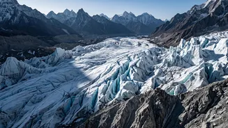
The tragedy has brought renewed attention to a much larger transformation taking place across the Hindu Kush Himalaya (HKH). Reports published by ICIMOD 'Changing Dynamics of Glaciers in the Hindu Kush Himalaya Region from 1990 to 2020' and 'HKH Glacier Outlook 2026: Insights from 50 Years of Himalayan Glacier Monitoring' warn that glaciers across the region are losing ice at an accelerating rate, with the rate of ice loss having doubled since 2000.
The reports indicate that the region has lost up to 27 metres of glacier ice thickness since 1975, highlighting the growing risks for downstream communities that depend on Himalayan meltwater.
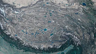
The scale of the region is immense. The Hindu Kush Himalaya is home to more than 63,700 glaciers covering nearly 55,782 square kilometres. These glaciers feed at least 10 major Asian river systems and underpin the water, food and livelihood security of billions of people.
Yet the same glaciers are increasingly exposed to a rapidly warming environment. Around 78% of the region's glacier area lies between 4,500 and 6,000 metres above sea level, an elevation zone particularly exposed to elevation-dependent warming.
ICIMOD Director General Pema Gyamtsho described the situation as a "crisis unfolding in real-time."
The changes are not uniform across the Hindu Kush Himalaya. The greatest percentage losses have been recorded in the eastern Hengduan Shan, where some areas have lost as much as 33% of their glacier area in just three decades.
The largest absolute losses, however, are concentrated in the Indus, Ganges and Brahmaputra basins, which together contain more than 74% of the region’s glaciers. The consequences extend far beyond the mountains, given the enormous populations and economies that depend on these river systems.
Nepal's latest disaster illustrates why these changes matter.
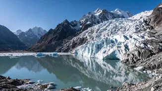
A warming Himalaya does not simply mean less ice. It can also mean an increasingly unstable mountain environment, where glacier retreat, melting snow and ice, thawing permafrost, unstable rock faces and changing rainfall patterns can interact to produce cascading hazards.
In the Nepal disaster, scientists are still working to establish precisely how the high-altitude collapse translated into the devastating flood downstream.
The WMO reported that water levels on the Trishuli River rose by as much as nine metres in just 30 minutes at Galchchi. That leaves very little time for communities downstream to respond.
The crisis is a stark reminder of the growing hazards emerging in a rapidly changing Himalayan landscape and of the urgent need for stronger monitoring, early-warning systems and climate adaptation across the region.