



India-Myanmar Land Exchange: India and Myanmar are reportedly exploring a possible territorial exchange to settle a decades-old undemarcated section of their shared border along Manipur.
While addressing
a press breifing on Tuesday, MEA spokesperson Randhir Jaiswal clarified the speculation that India has sought to exchange territory to demarcate the border as fencing work is going on. Though he stopped short of confirming any territorial exchange but acknowledged that discussions are underway on areas of the border that remain unsettled.
“There are certain areas on the border between the two countries that are yet to be settled, and discussions on those particular sectors are ongoing between the two sides,” he said.
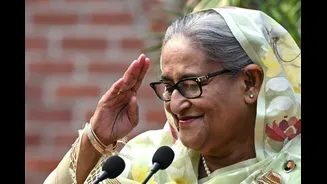
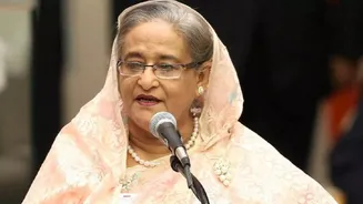
#WATCH | Delhi: MEA Spokesperson Randhir Jaiswal said, "Regarding the invitation extended to the Bangladesh Prime Minister. You would be aware that a formal invitation to the Prime Minister of Bangladesh to visit India was extended when he assumed office in February 2026. As far… pic.twitter.com/QW6UNQYx55
— ANI (@ANI) August 4, 2026
His remarks came weeks after US-based magazine The Diplomat reported that India was examining a proposal to complete demarcation between boundary pillars 65 and 68 along Manipur’s border with Myanmar.
According to the report, the proposal involves exchanging around 1.4 square miles of territory in the Chandel district of Manipur, adjoining Myanmar’s Kabaw Valley in the Sagaing Region.
The reported proposal relates to a roughly 2.8-km stretch between the boundary pillars. The proposed area for exchange lies in Manipur’s Chandel district, adjoining Myanmar’s Kabaw Valley in the Sagaing Region. According to the “official document”, dated May 26, 2026, the demarcation exercise was expected to be completed within three months.
However, the government has not officially confirmed that a land swap has been agreed upon.
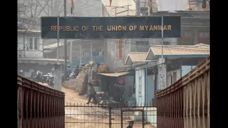
India and Myanmar share a 1,643-km international boundary passing through Arunachal Pradesh, Nagaland, Manipur and Mizoram.
According to the Ministry of Home Affairs, around 1,472 km of the border has been demarcated, while nearly 171 km remains unresolved, including stretches in Arunachal Pradesh’s Lohit sector and Manipur’s Kabaw Valley.
The frontier is largely mountainous, forested and difficult to monitor. It also cuts across communities that have historically lived on both sides of the border.
India has been pushing to strengthen surveillance and border infrastructure along the frontier, particularly amid concerns over illegal immigration, drug trafficking, insurgency and the movement of armed groups.
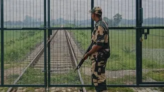
In February 2024, the Centre announced plans to fence the entire 1,643-km India-Myanmar border and construct a patrol track to improve surveillance.
The government also announced the scrapping of the Free Movement Regime (FMR), which had allowed tribal communities living along the border to travel up to 16 km into each other’s territory without a visa, subject to a border pass.
The move was aimed at tightening security along the frontier and regulating cross-border movement.
India has consistently maintained that there is no broader territorial dispute with Myanmar and that only certain boundary pillars and stretches remain to be settled through bilateral mechanisms.
The current boundary is based on a 1967 bilateral agreement, while discussions on the remaining unresolved portions have continued through established diplomatic channels.
Territorial exchanges with neighbouring countries are not unprecedented. In 2015, India and Bangladesh implemented the Land Boundary Agreement, under which the two countries exchanged enclaves and resolved a decades-old boundary issue.