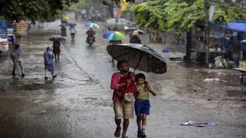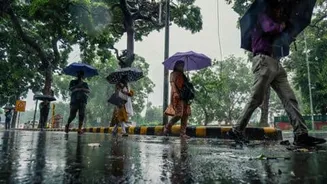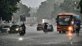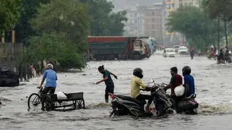






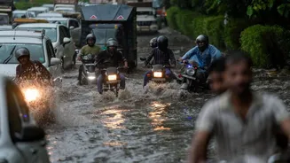

IMD Weather Forecast: India is bracing for another spell of active monsoon weather on Tuesday, August 11, with the India Meteorological Department (IMD) forecasting widespread rainfall across several parts
of the country.
Heavy to very heavy showers are likely in parts of North, Central, East and Western India, while thunderstorms, lightning and gusty winds could accompany rainfall in several regions. The monsoon trough remains active and continues to lie south of its normal position. A low-pressure area over North Madhya Pradesh and adjoining areas is also influencing weather conditions across Central India.
Meanwhile, another cyclonic circulation over the Northwest Bay of Bengal is expected to strengthen into a low-pressure area around August 12. The developing system could sustain rainfall activity over eastern and central parts of the country in the coming days.
Rain And Thunderstorms Likely Across North India
Delhi, Haryana, Chandigarh and Punjab are likely to receive fairly widespread to widespread rainfall on August 11, with isolated heavy showers also possible. The region could experience thunderstorms and sudden spells of intense rain during the day. Uttarakhand is also expected to receive widespread rainfall, with isolated heavy showers likely.
Himachal Pradesh, Jammu & Kashmir, Ladakh and adjoining areas are expected to remain under an extended spell of monsoon activity.
In Rajasthan, East Rajasthan is the main area of concern, with isolated very heavy rainfall possible on August 11.
Central India To Face Heavy Rain
The low-pressure system over Madhya Pradesh will continue to drive rainfall across Central India. West Madhya Pradesh is expected to receive fairly widespread to widespread rainfall, while East Madhya Pradesh could also experience widespread showers.
Chhattisgarh is likely to witness heavy rain accompanied by thunderstorms and lightning. The IMD has warned of heavy to very heavy rainfall in parts of Central India, with localised intense spells also possible.
East India Braces For A Wet Day
Odisha, Gangetic West Bengal, and Sub-Himalayan West Bengal and Sikkim are expected to remain wet on Tuesday.
Heavy rainfall is likely over Gangetic West Bengal and Odisha, while thunderstorms and gusty winds could accompany showers in parts of the region.
Bihar and Jharkhand could also experience thunderstorms and lightning, with rainfall activity expected to increase further over the coming days.
Northeast India To See More Rain
Several parts of the Northeast are also likely to receive rainfall. Assam, Meghalaya and Arunachal Pradesh may see scattered showers, while heavy rain is likely over Assam-Meghalaya and Arunachal Pradesh.
The region could continue to see active monsoon conditions as weather systems over eastern and central India strengthen.
Widespread Rain Forecast Over West India
The Konkan and Goa region is expected to remain under widespread rainfall on August 11.
Gujarat could receive heavy rain, while Madhya Maharashtra is also likely to witness heavy showers. The western coast could see thunderstorms and gusty winds alongside periods of intense rainfall.
South India To Remain Wet
Southern India will continue to experience widespread rainfall, particularly across Coastal Karnataka, Kerala and Lakshadweep.
Rainfall in these areas is likely to be accompanied by thunderstorms, gusty winds and strong surface winds in several coastal locations.
Active Weather To Continue
Overall, Tuesday is expected to remain wet and stormy across large parts of India. The active monsoon trough, the low-pressure area over Madhya Pradesh and the developing system over the Bay of Bengal are likely to keep rainfall activity elevated.
With the Bay of Bengal system expected to strengthen around August 12, eastern and central parts of the country could continue to experience unsettled weather in the coming days.