


What is the story about?
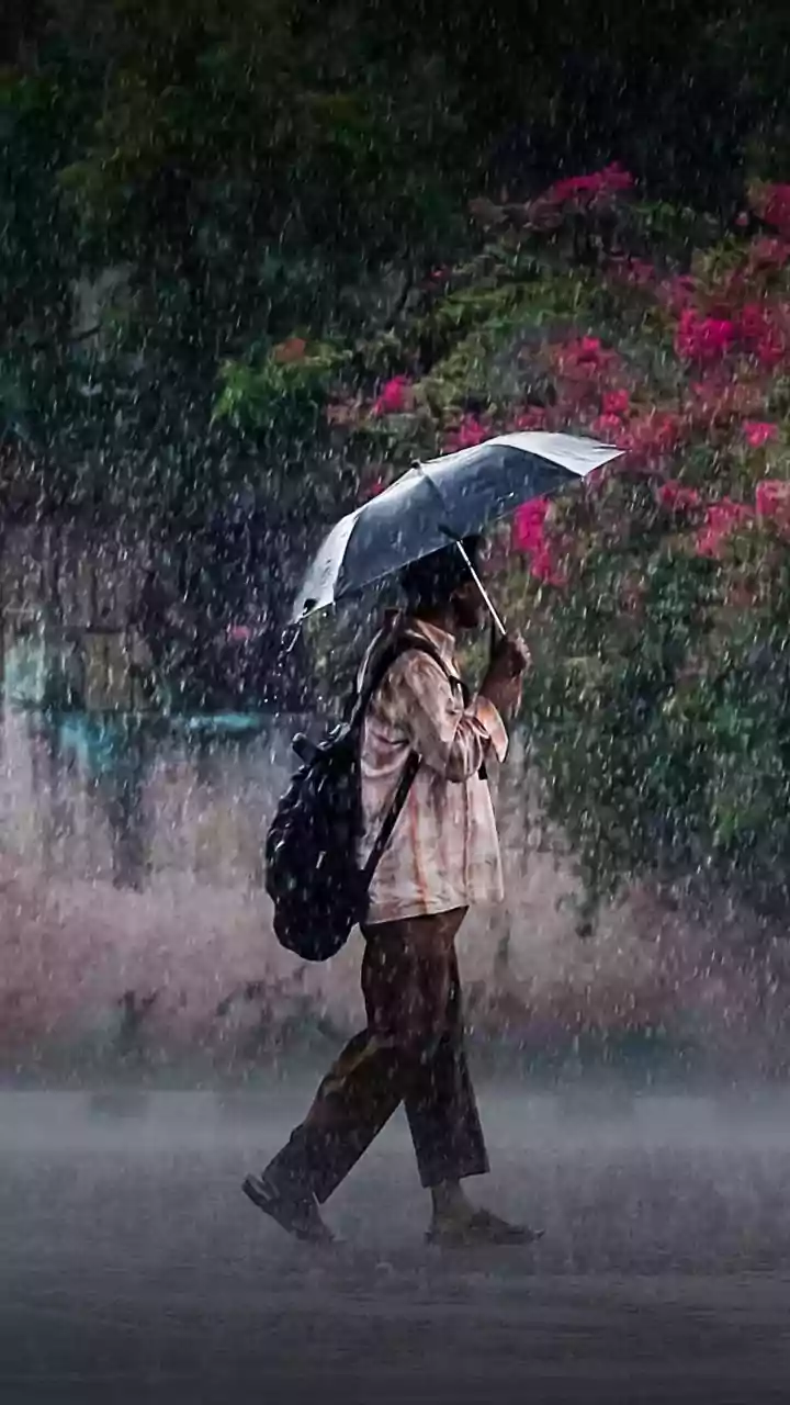
“It’s so hot!” has become a chant in most parts of India as the country struggles with extreme heat and little to no rainfall. After predicting that the country’s southwest monsoon would arrive by June 4, rainfall seems elusive, leaving vast regions waiting for rain and pushing the seasonal rainfall deficit higher.
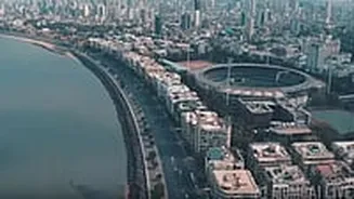
The missing monsoon has led many parts of the country, such as Maharashtra, to parch.
Amid such circumstances, everyone is asking one question: when will India finally receive its rainfall?
In early June, India’s weatherman, the India Meteorological Department (IMD), had predicted that the country’s southwest monsoon was expected to hit Kerala on June 4. “Conditions are favourable for further advance of southwest monsoon into some more parts of southwest and southeast Arabian Sea, Lakshadweep Islands, some parts of Kerala and Tamil Nadu, some more parts of southwest, westcentral, eastcentral, and northeast Bay of Bengal, and remaining parts of southeast Bay of Bengal around June 4,” said the IMD.
The agency added that isolated heavy to very heavy rainfall between seven and 20 centimetres was very likely over Kerala in the next six to seven days. Isolated parts of Tamil Nadu and Karnataka were also expected to receive heavy rains during this period.
And it seemed that everything was on track for the country.
However, fresh imagery from European weather satellite Meteosat, US weather agency NOAA, and Isro’s Insat-3DS satellite revealed a rather alarming image in mid-June. Large parts of central, western, and peninsular India were missing the dense cloud bands that are normally associated with an active monsoon.
The images presented a striking contrast to what meteorologists would normally expect nearly two weeks after the monsoon’s onset over Kerala.
But what is the reason that India’s southwest rainfall is now playing the peekaboo game? One of the biggest reasons has been the constant intrusion of dry air into the Indian subcontinent. Throughout the first half of June, dry air constantly pushed into western and central India, suppressing cloud formation and preventing widespread rainfall. This has caused the rainfall activity to diminish and, at the same time, push up the mercury levels.
Another reason why the country hasn’t received a good downpour yet is the absence of a strong Somali Jet. This is a powerful low-level wind current that transports enormous amounts of moisture from the equatorial Indian Ocean toward India during the monsoon season.
Another factor that has slowed down India’s monsoon is El Niño. Earlier, the IMD had warned that moderate-to-strong El Niño conditions are expected during the June-September monsoon season. In the past, El Niño has suppressed rainfall over India by weakening the moisture-bearing circulation. Additionally, the Indian Ocean Dipole, another important climate driver, is expected to remain neutral, offering little support to offset El Niño’s influence.
As a result of these factors, the monsoon remains elusive, with data showing that rainfall across the country was nearly 40 per cent below normal as of Wednesday. Several major states are facing severe rainfall shortages. Maharashtra has recorded a whopping 79 per cent deficit, Gujarat 98 per cent, Jharkhand 66 per cent, and Chhattisgarh 65 per cent.
In fact, IMD data shows that the country has received only 19.2 mm of rainfall between June 4 and June 15 against a normal of 53.7 mm.
With rain clouds hiding, parts of the country are struggling with rising temperatures and dipping water levels.
The delayed monsoon is also beginning to affect water resources. Maharashtra’s reservoirs currently hold only about 24.5 per cent of their total storage capacity, while several reservoirs in Gujarat are reporting sharply reduced water levels.
In the country’s financial capital, Mumbai, the wait for the monsoon has led to a water cut after levels in the seven lakes that supply water have fallen. The civic body has also announced that all heavy industries will now mandatorily have to use recycled or treated sewage water for operational uses. Moreover, water supply to all swimming pools in the city has been temporarily disconnected. Using drinkable water for washing vehicles, gardening, or cleaning roads has also been banned in Mumbai.
And it seems that there’s no respite in sight. The IMD stated that the monsoon is likely to remain stalled until at least June 24, following which forecasting models have indicated an uptick in rain activity over Konkan.
For other parts of the country, meteorologists expect some improvement in rainfall next week as moist southwesterly winds help the monsoon advance northward into early July. However, broader weather conditions are expected to remain unfavourable beyond that period.
Now, it’s a wait-and-watch game to see when the monsoon will arrive and give citizens relief from the heat.
With inputs from agencies
The missing monsoon has led many parts of the country, such as Maharashtra, to parch.
Amid such circumstances, everyone is asking one question: when will India finally receive its rainfall?
India misses its date with the monsoon
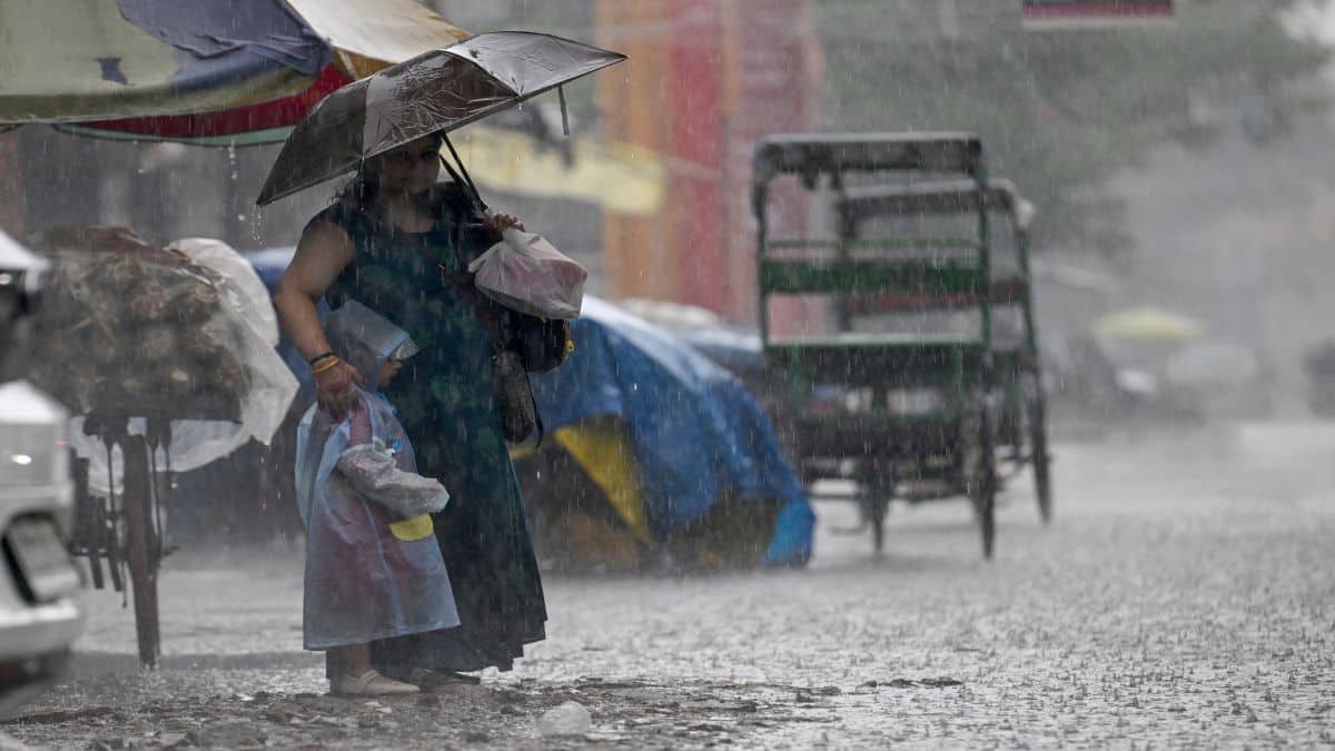
In early June, India’s weatherman, the India Meteorological Department (IMD), had predicted that the country’s southwest monsoon was expected to hit Kerala on June 4. “Conditions are favourable for further advance of southwest monsoon into some more parts of southwest and southeast Arabian Sea, Lakshadweep Islands, some parts of Kerala and Tamil Nadu, some more parts of southwest, westcentral, eastcentral, and northeast Bay of Bengal, and remaining parts of southeast Bay of Bengal around June 4,” said the IMD.
The agency added that isolated heavy to very heavy rainfall between seven and 20 centimetres was very likely over Kerala in the next six to seven days. Isolated parts of Tamil Nadu and Karnataka were also expected to receive heavy rains during this period.
And it seemed that everything was on track for the country.
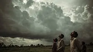
However, fresh imagery from European weather satellite Meteosat, US weather agency NOAA, and Isro’s Insat-3DS satellite revealed a rather alarming image in mid-June. Large parts of central, western, and peninsular India were missing the dense cloud bands that are normally associated with an active monsoon.
The images presented a striking contrast to what meteorologists would normally expect nearly two weeks after the monsoon’s onset over Kerala.
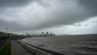
Earlier, the India Meteorological Department (IMD) had predicted that the country’s southwest monsoon was expected to hit Kerala on June 4. File image/Reuters
Reasons why India’s monsoon has disappeared
But what is the reason that India’s southwest rainfall is now playing the peekaboo game? One of the biggest reasons has been the constant intrusion of dry air into the Indian subcontinent. Throughout the first half of June, dry air constantly pushed into western and central India, suppressing cloud formation and preventing widespread rainfall. This has caused the rainfall activity to diminish and, at the same time, push up the mercury levels.
Another reason why the country hasn’t received a good downpour yet is the absence of a strong Somali Jet. This is a powerful low-level wind current that transports enormous amounts of moisture from the equatorial Indian Ocean toward India during the monsoon season.
Another factor that has slowed down India’s monsoon is El Niño. Earlier, the IMD had warned that moderate-to-strong El Niño conditions are expected during the June-September monsoon season. In the past, El Niño has suppressed rainfall over India by weakening the moisture-bearing circulation. Additionally, the Indian Ocean Dipole, another important climate driver, is expected to remain neutral, offering little support to offset El Niño’s influence.
As a result of these factors, the monsoon remains elusive, with data showing that rainfall across the country was nearly 40 per cent below normal as of Wednesday. Several major states are facing severe rainfall shortages. Maharashtra has recorded a whopping 79 per cent deficit, Gujarat 98 per cent, Jharkhand 66 per cent, and Chhattisgarh 65 per cent.
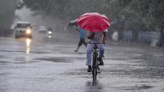
In fact, IMD data shows that the country has received only 19.2 mm of rainfall between June 4 and June 15 against a normal of 53.7 mm.
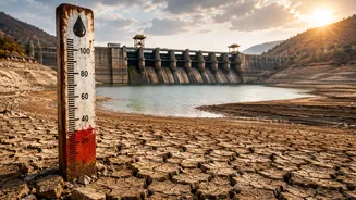
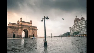
A number of factors have resulted in the slowing down of India's monsoon, owing to which the country has received only 19.2 mm of rainfall between June 4 and June 15 against a normal of 53.7 mm. File image/AFP
States struggle as rainfall remains elusive
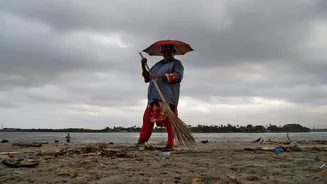
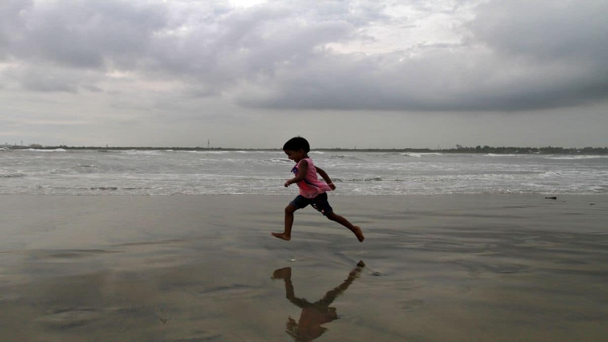
With rain clouds hiding, parts of the country are struggling with rising temperatures and dipping water levels.
The delayed monsoon is also beginning to affect water resources. Maharashtra’s reservoirs currently hold only about 24.5 per cent of their total storage capacity, while several reservoirs in Gujarat are reporting sharply reduced water levels.
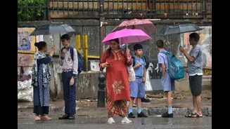
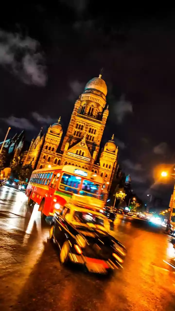
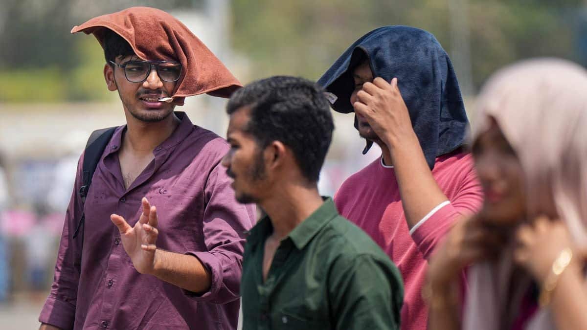
People cover themselves amid the heat in Mumbai. PTI
In the country’s financial capital, Mumbai, the wait for the monsoon has led to a water cut after levels in the seven lakes that supply water have fallen. The civic body has also announced that all heavy industries will now mandatorily have to use recycled or treated sewage water for operational uses. Moreover, water supply to all swimming pools in the city has been temporarily disconnected. Using drinkable water for washing vehicles, gardening, or cleaning roads has also been banned in Mumbai.
And it seems that there’s no respite in sight. The IMD stated that the monsoon is likely to remain stalled until at least June 24, following which forecasting models have indicated an uptick in rain activity over Konkan.
For other parts of the country, meteorologists expect some improvement in rainfall next week as moist southwesterly winds help the monsoon advance northward into early July. However, broader weather conditions are expected to remain unfavourable beyond that period.
Now, it’s a wait-and-watch game to see when the monsoon will arrive and give citizens relief from the heat.
With inputs from agencies