


What's Happening?
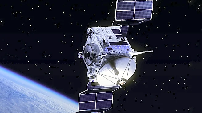
Vantor, formerly Maxar Intelligence, has launched WorldView 3D, a new product line offering high-definition satellite imagery. The WorldView 3D line includes two products: WorldView 3D Rapid, providing 50-centimeter resolution maps within 24 hours, and
WorldView 3D High Definition, offering 15-centimeter resolution maps. These products aim to support AI analytics and robotics workflows by providing accurate 3D models. Vantor's focus on 3D mapping stems from its acquisition of Vricon in 2020, and the company has since applied advanced techniques to its satellite imagery archive. The new offerings are expected to benefit sectors like disaster response, infrastructure monitoring, and autonomous navigation.
Why It's Important?
The introduction of WorldView 3D is a significant advancement in satellite imagery, providing more precise and timely data for various applications. This development is crucial for industries relying on accurate geospatial data, such as defense, urban planning, and environmental monitoring. By enhancing AI and robotics workflows, Vantor's new products could lead to more efficient and effective operations in these sectors. The ability to quickly update 3D maps can improve decision-making processes, particularly in time-sensitive situations like disaster response. This innovation positions Vantor as a leader in the geospatial industry, potentially attracting new clients and partnerships.
What's Next?
Vantor's WorldView 3D products are likely to see increased adoption across industries that require precise geospatial data. The company may continue to enhance its offerings, integrating more advanced AI capabilities and expanding its satellite network. As Vantor's technology becomes more widely used, it could influence standards and practices in geospatial data collection and analysis. The success of WorldView 3D could also lead to further investments in satellite technology and AI, driving innovation in the field.