






What's Happening?
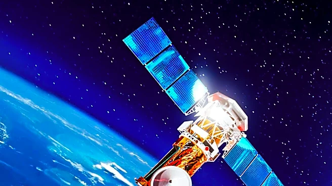
The OlmoEarth Platform, developed by Ai2, is advancing geospatial inference at a planetary scale using Earth observation foundation models. These models, pretrained on approximately 10 terabytes of multimodal satellite data, are being adapted by governments,
NGOs, and mission-driven organizations for applications such as deforestation monitoring, food security, and wildfire risk assessment. The platform addresses the challenges of large-scale geospatial inference, including data acquisition, processing, and alignment across multiple satellite providers. It enables continent-scale inference in a day, processing terabytes of imagery cost-effectively.
Why It's Important?
The OlmoEarth Platform represents a significant advancement in the operationalization of geospatial models, providing critical infrastructure for organizations working in conservation, food security, disaster response, and climate monitoring. By enabling large-scale inference, the platform helps close the gap between the need for comprehensive environmental understanding and the technical and budgetary constraints faced by many organizations. This development has the potential to enhance decision-making and resource allocation in environmental management, contributing to more effective responses to global challenges such as climate change and natural disasters.
What's Next?
Future developments for the OlmoEarth Platform include automated model runs, change detection alerts, and the integration of new satellite sensors and data sources. The platform aims to lower the barrier to entry for using geospatial models, making them accessible to users with varying technical expertise. Continued enhancements in model efficiency and the addition of new modalities will further expand the platform's capabilities, supporting a broader range of applications. The platform's architecture is designed to support deployment across multiple cloud environments, ensuring flexibility and scalability for diverse user needs.