









What's Happening?
Machine learning models are encountering significant challenges when applied to geological data due to the inherent complexity and variability of geological formations. Unlike the consistent patterns that machine learning algorithms typically rely on,
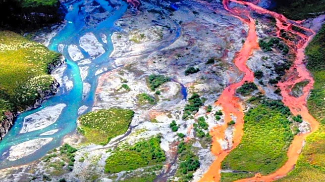
geological features such as rock formations and soil layers exhibit significant variability over short distances. This variability creates a disconnect between the training data and real-world conditions, leading to predictions that may overlook critical local details. The issue is compounded by data scarcity and spatial bias, as geological datasets are often sparse and unevenly distributed, limiting the model's ability to generalize beyond well-studied areas. Additionally, the problem of spatial autocorrelation, where geological features in proximity are more similar than those farther apart, further complicates the modeling process. These challenges highlight the need for hybrid approaches that combine physical geological principles with data-driven learning to improve model accuracy and reliability.
Why It's Important?
The challenges faced by machine learning in geological data modeling have significant implications for industries and sectors that rely on accurate geological predictions, such as construction, mining, and environmental management. Inaccurate models can lead to costly errors in site investigations, landslide warnings, and drilling operations, potentially compromising safety and increasing operational costs. The inability to accurately predict geological conditions can also hinder effective risk management and decision-making processes. As machine learning continues to be integrated into various fields, addressing these challenges is crucial to harnessing its full potential and ensuring that predictions are reliable and actionable. The development of more robust models that account for geological variability and uncertainty can lead to better-informed decisions and improved outcomes in industries that depend on accurate geological assessments.
What's Next?
To address the challenges in geological data modeling, researchers are increasingly exploring hybrid approaches that integrate physical geological principles with machine learning techniques. This involves using large historical datasets and domain knowledge to guide model development and ensure that predictions respect known geological constraints. Spatial cross-validation techniques, which split training and testing data by geographic region, are also being employed to expose overfitting due to spatial autocorrelation. These approaches aim to provide a more accurate picture of how models will perform in new locations. Additionally, there is a growing emphasis on treating machine learning as a tool that supports, rather than replaces, geological judgment. By combining AI outputs with expert review and borehole logs, practitioners can better detect local anomalies and improve the reliability of geological predictions.