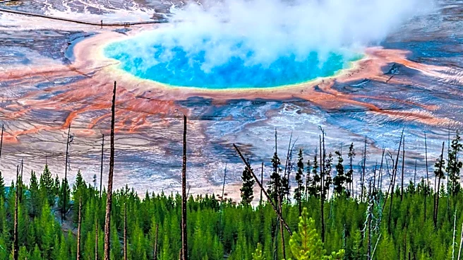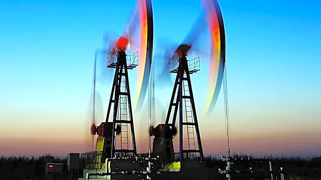


What's Happening?
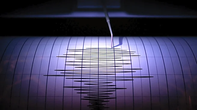
Recent advancements in seismic imaging technology are enabling a reassessment of legacy seismic data, which has traditionally been archived after initial use. These technological improvements include developments in anisotropy modeling, multi-survey integration,
wave-equation migration, and full-waveform inversion (FWI). These advancements allow for more accurate structural positioning, velocity fidelity, and depth consistency, which were previously limited by computational constraints. The reassessment of legacy datasets is particularly valuable in capital-intensive basins, where it can provide greater immediate value than acquiring new data. By addressing velocity and anisotropy modeling constraints, these technologies improve image reliability and reduce depth uncertainties, which are critical for well placement and reserve estimation.
Why It's Important?
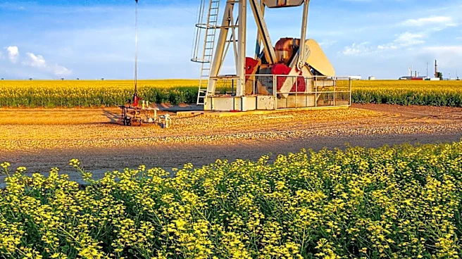
The ability to extract more accurate and reliable data from legacy seismic surveys has significant implications for the oil and gas industry. It allows companies to optimize existing resources without the need for costly new data acquisition. This can lead to more efficient capital deployment and reduced exploration risks. By improving the accuracy of subsurface models, companies can make better-informed decisions regarding drilling and development strategies, potentially leading to increased production and reduced environmental impact. The integration of modern imaging techniques with legacy data also enhances the industry's ability to manage and mitigate risks associated with depth uncertainty, which is crucial for maintaining economic viability in competitive markets.
What's Next?
As these technologies continue to evolve, the oil and gas industry is likely to see further integration of legacy data with new acquisition methods. Companies may increasingly rely on these advanced imaging techniques to reassess existing fields, potentially leading to the discovery of untapped resources. The ongoing development of high-performance computing and imaging algorithms will further enhance the accuracy and reliability of seismic data interpretation. This could result in a shift in industry practices, where legacy data is treated as an active asset rather than a static reference, influencing future exploration and development strategies.
Beyond the Headlines
The reassessment of legacy seismic data using modern technology also raises questions about the ethical and environmental responsibilities of the oil and gas industry. As companies become more efficient in extracting resources, there is a need to balance economic gains with environmental stewardship. The use of advanced imaging techniques could lead to more sustainable exploration practices by minimizing the need for new data acquisition and reducing the environmental footprint of exploration activities. Additionally, the industry must consider the long-term implications of relying on fossil fuels and the potential for these technologies to be applied in renewable energy exploration.