

What's Happening?
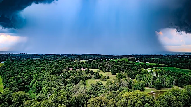
The first week of August in Illinois has been marked by cooler and wetter conditions, with average temperatures ranging from the low 70s to mid-70s. Scattered storms have brought significant rainfall, particularly in the Chicagoland area, which experienced
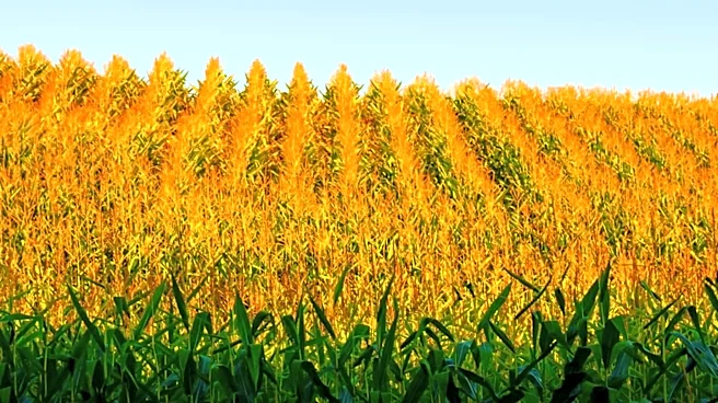
nearly 5 inches of rain. Despite the recent wet weather, most of the state remains drier than average since July. Looking ahead, a cold front is expected to bring additional rainfall, benefiting late-planted corn and soybeans. The forecast suggests a mix of temperature patterns with a wetter than average trend continuing through mid-August.
Why It's Important?
The current weather conditions are favorable for Illinois farmers, providing much-needed moisture to support crop growth during the critical stages of development. The additional rainfall forecasted for the coming week will help alleviate drought stress and improve soil moisture levels, enhancing crop yields and quality. These weather patterns are crucial for planning agricultural activities and ensuring a successful harvest. The information is valuable for farmers, agronomists, and policymakers in making informed decisions about crop management and resource allocation.
What's Next?
Farmers will continue to monitor weather forecasts and adjust their management practices accordingly. The anticipated rainfall will be beneficial for crops, but farmers must remain vigilant for potential disease outbreaks due to increased humidity. The ongoing weather updates will guide farmers in optimizing irrigation and pest management strategies. Additionally, the mixed temperature patterns may influence planting decisions for the next growing season, as farmers assess the long-term impacts of current weather trends.