


Austria's geography has played a crucial role in shaping its political boundaries and development throughout history. Nestled in the heart of Europe, Austria's mountainous terrain and strategic location have influenced its political landscape and interactions with neighboring countries. This article examines the geographic features of Austria and their impact on the country's political evolution.
The Alpine Influence
The Alps dominate Austria's landscape, covering a significant
portion of the country's territory. This mountainous region has historically served as both a barrier and a conduit for cultural and political exchange. The Alps have provided natural protection against invasions, contributing to Austria's ability to maintain its sovereignty and influence in the region.
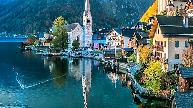
The rugged terrain of the Alps has also shaped Austria's internal political boundaries. The country's federal states, such as Tyrol and Salzburg, are often defined by the natural contours of the mountains. These geographic features have influenced the development of distinct regional identities, as communities in isolated valleys developed unique cultural and political characteristics.
The Danube and Economic Development
The Danube River, one of Europe's major waterways, flows through Austria and has been a vital artery for trade and transportation. The river has historically facilitated economic development and political integration, connecting Austria to other regions in Europe. The Danube has served as a crucial link between Western and Eastern Europe, enabling the exchange of goods, ideas, and cultures.
The river's strategic importance has also influenced Austria's political relationships with its neighbors. Control of the Danube has been a key factor in Austria's interactions with countries such as Hungary and Germany. The river has played a central role in shaping Austria's economic and political alliances, contributing to its position as a significant player in European affairs.
Modern Political Boundaries
Austria's current political boundaries are the result of a complex history of territorial changes and negotiations. The dissolution of the Austro-Hungarian Empire after World War I led to the establishment of the modern Republic of Austria, with borders that reflect both historical claims and geographic realities.
The country's federal structure, with nine states, reflects the diverse geographic and cultural landscape of Austria. Each state has its own government and administrative structures, allowing for regional autonomy and representation. This federal system has helped to balance the interests of different regions and maintain political stability.
In conclusion, Austria's geographic features have played a significant role in shaping its political landscape. The Alps and the Danube have influenced the country's development, contributing to its unique regional identities and strategic importance in Europe. As Austria continues to navigate its place in the modern world, its geography remains a key factor in its political and economic interactions.