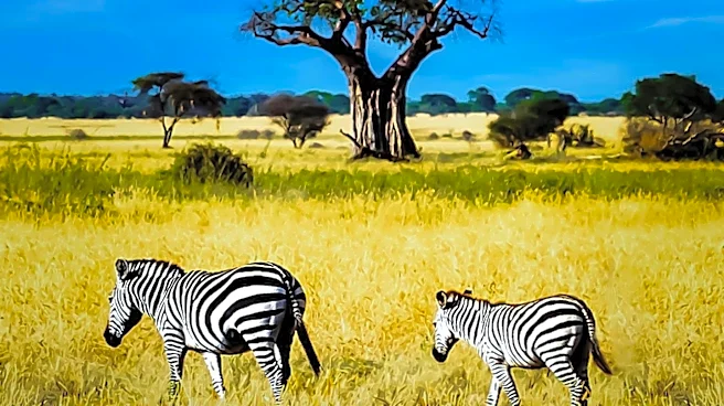

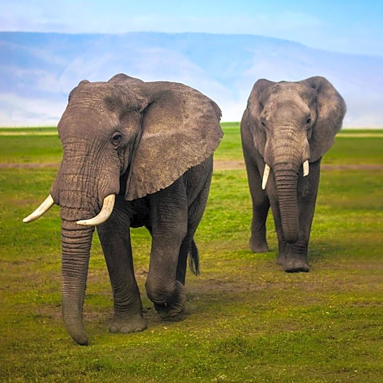
The Serengeti is a significant geographical region located in Africa, spanning parts of both Tanzania and Kenya. Specifically, it encompasses the Mara and Arusha Regions of Tanzania and extends into southwestern Kenya. This vast area is not just a single park but includes a protected area covering approximately 30,000 square kilometers (about 12,000 square miles), which incorporates the renowned Serengeti National Park along with several game reserves.
The region is celebrated for hosting one of the world's largest land animal migrations, a spectacle that has earned it recognition as one of the Seven Natural Wonders of Africa.
Diverse Topography and Climate
The altitudes across the Serengeti region vary considerably, ranging from 920 meters (3,020 feet) to 1,850 meters (6,070 feet). This variation in elevation contributes to the diverse ecosystems found within the region. Mean temperatures generally fluctuate between 15 and 25 degrees Celsius (59 to 77 degrees Fahrenheit). While the climate is typically warm and dry for much of the year, the Serengeti experiences two distinct rainy seasons. The longer rainy season occurs from March to May, followed by a shorter one in October and November. Rainfall amounts are not uniform across the region; they can be as low as 508 millimeters (20 inches) in the lee of the Ngorongoro highlands and as high as 1,200 millimeters (47 inches) on the shores of Lake Victoria.
Unique Geological Features and Vegetation
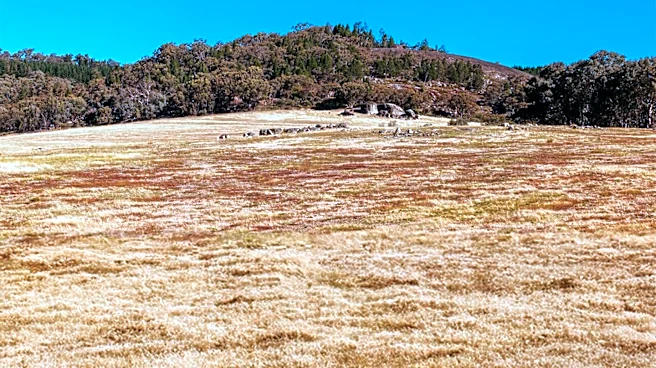
Near Lake Victoria, the landscape is characterized by floodplains that have developed from ancient lakebeds, indicating a history of significant water presence. In the far northwest of the Serengeti, a change in geology leads to a shift in vegetation. Here, acacia woodlands, which are common in other parts of the region, are replaced by broadleaved Terminalia-Combretum woodlands. This northwestern area also receives the highest rainfall within the entire system, making it a crucial refuge for migrating ungulates, such as wildebeest and zebras, at the end of the dry season when other areas may be parched.
Protected Areas and Human Impact
The governments of Tanzania and Kenya have established numerous protected areas within the Serengeti, including national parks, conservation areas, and game reserves. These measures provide legal protection to over 80 percent of the Serengeti's land. Despite these conservation efforts, the ecosystem has faced challenges. Due to human encroachment, the Serengeti ecosystem is currently estimated to be only 60 percent of its original size. This highlights the ongoing tension between human development and the preservation of this globally significant natural habitat. The region also includes the Ngorongoro Conservation Area, which is home to the Ngorongoro Crater and the Olduvai Gorge, a site famous for its ancient hominin fossil discoveries.
Ecological Dynamics and Recovery
The historical presence of humans, particularly the Maasai, and subsequent events like droughts and diseases, influenced the Serengeti's ecology. For instance, the absence of fires, which were once caused by humans, allowed dense woodlands and thickets to develop over 30 to 50 years. This change also led to an increase in tsetse fly populations, which in turn prevented significant human settlement. By the mid-1970s, populations of wildebeest and Cape buffalo had recovered, and their grazing activities helped to crop the grass, reducing the fuel available for fires. This reduction in fire intensity then allowed acacia trees to re-establish themselves, demonstrating the complex interplay of factors shaping the Serengeti's landscape.