




Landsat 1, launched in 1972, was a groundbreaking satellite that introduced several technological advancements in the field of Earth observation. As the first satellite in the Landsat program, it set new standards for remote sensing technology. This article explores the key technological features of Landsat 1 and their contributions to Earth resource management.
Multispectral Scanner: A Revolutionary Tool
One of the most significant technological innovations of Landsat 1 was its Multispectral
Scanner (MSS). This instrument was the first of its kind to be used in a satellite, allowing for the capture of images in multiple spectral bands. The MSS provided detailed information on Earth's surface, enabling the identification of various types of vegetation, soil, and water bodies.
The scanner operated by using a rotating mirror to capture images across different wavelengths. This technology allowed scientists to analyze the spectral signatures of different materials, providing insights into their composition and condition. The MSS was instrumental in advancing the field of remote sensing, as it provided a new way to study Earth's resources from space.
Satellite Design and Operation
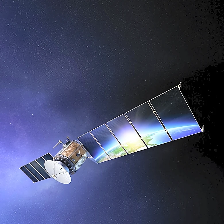
Landsat 1 was designed as a modified version of the Nimbus 4 meteorological satellite, incorporating several advanced features for Earth observation. The satellite was equipped with solar panels for power generation, ensuring a reliable energy source for its instruments. It also featured hydrazine thrusters for propulsion, allowing for precise control of its orbit.
The satellite's communication systems were another key technological advancement. Landsat 1 was equipped with a command subsystem and a telemetry subsystem, enabling real-time data transmission to ground stations. This capability allowed scientists to monitor changes in Earth's environment as they occurred, providing valuable information for resource management.
Impact on Earth Resource Management
The technological advancements introduced by Landsat 1 had a profound impact on Earth resource management. The data collected by the satellite was used to monitor agricultural and forestry resources, geology and mineral resources, hydrology and water resources, and more. This information was critical for addressing environmental challenges and making informed decisions about resource use.
Landsat 1's success paved the way for subsequent satellites in the Landsat program, which continue to provide valuable data for environmental monitoring. The technological innovations of Landsat 1 have had a lasting impact on the field of remote sensing, demonstrating the importance of satellite technology in understanding and managing Earth's resources.