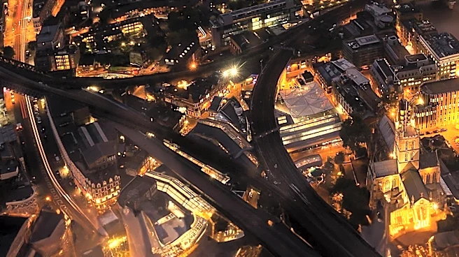
Abbey Road, a notable thoroughfare in Greater London, stretches through the borough of Camden and the City of Westminster. Running northwest to southeast through St John's Wood, it is perhaps most recognized globally for its association with the iconic Abbey Road Studios and the Beatles' album cover. However, this 0.9-mile (1.4 km) road, part of the B507, has a rich history and geographical context that predates its musical fame, evolving from a simple
track to a significant urban artery with its own unique character.
Origins and Development of a London Road
The northwestern end of Abbey Road originates in Kilburn, at the junction with Quex Road and West End Lane. Historically, this path was once a track that led to Kilburn Priory and its associated Abbey Farm. The development of Abbey Road as a more formal thoroughfare began in the early nineteenth century, transforming it from a rural track into a more structured part of London's expanding urban landscape. Its route continues southeast, crossing several other significant roads such as Priory Road, Belsize Road, Boundary Road, Clifton Hill, Carlton Hill, and Marlborough Place, before concluding at the junction of Grove End Road and Garden Road. Abercorn Place also joins Abbey Road from the west, further integrating it into the local road network.
The Abbey National Building Society Connection
Beyond its physical development, Abbey Road also holds historical significance through its connection to a major financial institution. The Abbey National Building Society, now known as Santander UK, was established in 1874. Its origins trace back to a Baptist Church located directly on Abbey Road, where it was founded as The Abbey Road & St John's Wood Permanent Benefit Building Society. This historical detail highlights the road's role as a community hub and a place where significant organizations could take root and grow, long before the advent of modern recording studios.
Cultural Landmark and Ongoing Maintenance
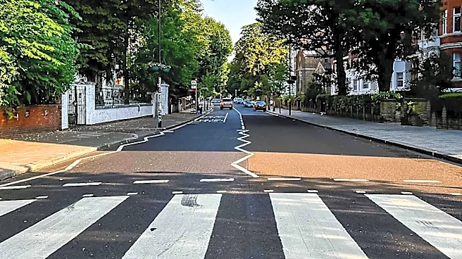
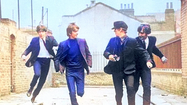
The association with the Beatles, particularly the album cover featuring the band crossing the zebra crossing outside Abbey Road Studios, has cemented the road's place on the London tourism circuit. This specific zebra crossing was granted official Grade II listed building status by English Heritage in December 2010, recognizing its cultural importance. Despite its status as a busy thoroughfare, the crossing remains a popular spot for photo opportunities, drawing visitors from around the world. The local council actively maintains the area, including repainting the wall next to the zebra crossing every three months to cover fan graffiti. Additionally, the street sign at the corner of Grove End Road and Abbey Road, which was frequently defaced or stolen, has been mounted high on a building to prevent further incidents and reduce maintenance costs. In 2019, Thames Water installed a commemorative manhole cover at the crossing to mark the 50th anniversary of the iconic album, further solidifying its cultural legacy.
Abbey Road as an Electoral Ward
Abbey Road is not only a physical street but also an electoral ward within the City of Westminster. This designation underscores its importance as an administrative and residential area. According to the 2011 census, the Abbey Road electoral ward had a population of 11,250, indicating a vibrant community residing within its boundaries. This aspect of Abbey Road demonstrates its multifaceted identity, serving as a historical route, a cultural landmark, and a living, breathing part of London's urban fabric.