






Tropical Storm Imelda, the ninth named storm and eleventh tropical cyclone of the 2019 Atlantic hurricane season, left an indelible mark on the U.S. state of Texas. Forming in September 2019, Imelda quickly escalated from an upper-level low in the Gulf of Mexico to a tropical storm just before making landfall. While its initial intensity was modest, the storm's slow movement over land, particularly across southeastern Texas, led to catastrophic and record-breaking
floods. This event serves as a stark reminder of the destructive power of tropical systems, even those not reaching hurricane strength.
Meteorological Genesis and Landfall
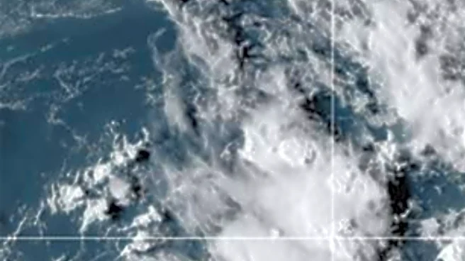
Imelda's origins can be traced back to a mid-to-upper level trough situated over the Eastern United States. This low-pressure system migrated southwestward towards the eastern Gulf of Mexico between September 10 and 12. Once over the Gulf, conditions became more favorable for development, with associated convection increasing and a weak surface trough forming within the upper-level low by September 14. The National Hurricane Center (NHC) began monitoring the disturbance for potential tropical cyclogenesis, though initially assigning it a low chance of formation.
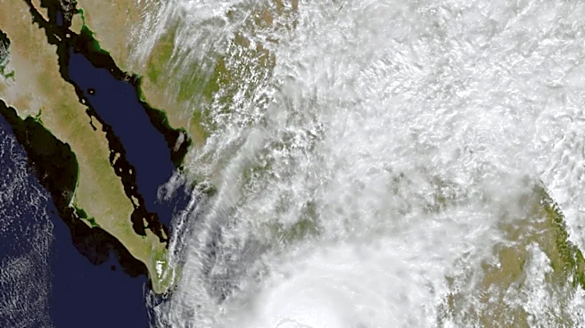
However, by September 17, the system had reached the east coast of Texas, and its organization rapidly intensified. At 17:00 UTC on that day, it officially became Tropical Depression Eleven just off the Texas coast. The transformation was swift; an observation deck in Freeport, Texas, recorded sustained winds of 40 mph with gusts of 47 mph at 17:45 UTC, confirming its upgrade to Tropical Storm Imelda. Shortly thereafter, at 18:30 UTC, Imelda made landfall near Freeport, Texas, at its peak intensity, boasting maximum 1-minute sustained winds of 45 mph and a minimum central pressure of 1,003 millibars.
The Unfolding Flood Disaster in Texas
Despite weakening to a tropical depression shortly after landfall at 03:00 UTC the following day, Imelda's impact was far from over. The storm's motion gradually slowed over land, allowing it to continuously dump immense amounts of rain across southeastern Texas, particularly in cities like Galveston and Beaumont. This prolonged rainfall led to severe and widespread flooding, necessitating dozens of water rescues by September 19 as communities became overwhelmed.
Some areas experienced staggering rainfall totals exceeding 43 inches (1,100 mm). This made Imelda the fourth-wettest tropical cyclone on record in Texas history, a testament to the sheer volume of water it unleashed. The remnants of Imelda persisted for several days, continuing to produce heavy rain and even isolated tornadoes before finally dissipating early on September 21. The extensive flooding caused by Imelda resulted in an estimated $5 billion in damages (2019 USD) and tragically led to 7 fatalities.
Economic and Human Toll
The financial and human cost of Tropical Storm Imelda was substantial. The $5 billion in damages made it the costliest Atlantic tropical cyclone name not to be retired at the time, a distinction later surpassed by Hurricane Sally. The widespread destruction affected not only homes and infrastructure but also the lives of countless residents in Texas and Louisiana, which also experienced significant rainfall. The need for numerous water rescues underscored the immediate danger posed by the rapidly rising floodwaters.
Imelda's legacy is one of devastating floods, highlighting how even a relatively weak tropical storm can cause immense damage when its movement stalls over populated areas. The event serves as a critical case study for understanding the vulnerabilities of coastal and inland communities to slow-moving rain events, emphasizing the importance of preparedness and rapid response to such meteorological phenomena.