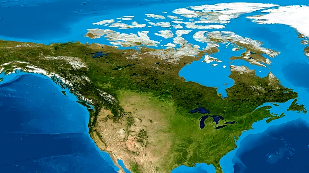








The Treaty of 1818, officially known as the Convention respecting fisheries, boundary, and the restoration of slaves, played a crucial role in shaping the geographical landscape of North America. A central element of this international agreement between the United States and the United Kingdom was the establishment of the 49th parallel north as a significant portion of their shared boundary. This decision was not arbitrary but was rooted in practical
considerations for surveying and defining a clear border across vast and varied terrains. The treaty's impact on territorial claims and the subsequent development of the U.S.-Canada border remains a cornerstone of North American geography.
The Logic Behind the 49th Parallel
The choice of the 49th parallel north as a boundary line extending to the Rocky Mountains was a pragmatic one for both the United States and the United Kingdom. The primary reason for this selection was the ease of surveying. Negotiators recognized that a straight-line boundary would be considerably simpler to establish and mark through the expansive Great Plains compared to the pre-existing boundaries, which were often based on natural features like watersheds. These older, more irregular boundaries presented significant challenges for precise demarcation, leading to potential disputes and ambiguities.
By agreeing to a clear, latitudinal line, the treaty aimed to minimize future conflicts arising from unclear territorial limits. This decision reflected a desire for a more stable and predictable border, facilitating administration and settlement for both nations. The 49th parallel thus became a foundational element in the cartography of the continent, providing a clear division that would influence subsequent territorial developments.
Territorial Shifts Along the New Boundary
The establishment of the 49th parallel as a boundary led to significant territorial adjustments for both signatories. The United Kingdom made a substantial cession, relinquishing all of Rupert's Land that lay south of the 49th parallel and east of the Continental Divide. This transfer included a considerable portion of the Selkirk Concession, which would later become integral to the Red River Colony, situated south of this newly defined latitude. This marked a permanent loss of territory for the British in what would become the continental United States.
In exchange, the United States ceded a smaller but geographically important area: a part of the Milk River region. This territory was located on the northernmost edge of the Missouri Territory, specifically north of the 49th parallel. While the scale of this cession was less extensive than that made by the British, it was a reciprocal action that contributed to the overall clarity and finality of the border agreement. These exchanges solidified the 49th parallel as a recognized and mutually agreed-upon dividing line, fundamentally altering the political geography of the region.
Joint Occupation and Future Implications
Beyond the fixed boundary to the Rocky Mountains, the Treaty of 1818 also addressed the vast Oregon Country. This region, known to the British as the Columbia District of the Hudson's Bay Company, was designated for joint occupation and settlement by citizens of both the United States and the United Kingdom. This arrangement, while not establishing a definitive boundary in the far west, allowed both nations to maintain a presence and pursue their interests in the Pacific Northwest. It acknowledged the complex claims to the area and deferred a final resolution, setting the stage for future negotiations regarding the westernmost extension of the U.S.-Canada border. The 49th parallel, though not extending to the Pacific at this point, became a symbol of the evolving relationship and territorial definitions between the two powers.