

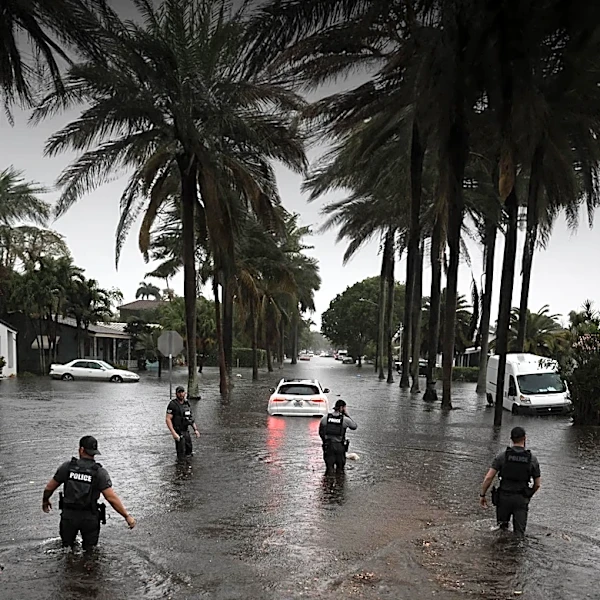





Tropical Storm Imelda, which struck in September 2019, stands as a powerful example of how a tropical cyclone's intensity at landfall does not always dictate its overall destructive potential. While Imelda made landfall as a relatively weak tropical storm, its subsequent slow movement over land proved to be its most devastating characteristic. This prolonged presence allowed it to unleash torrential rainfall, leading to catastrophic flooding across
southeastern Texas and causing billions of dollars in damage and multiple fatalities. The storm's lingering nature transformed it into a slow-moving disaster, with impacts unfolding over several days.
From Weak Storm to Widespread Flooding
Imelda's journey began as an upper-level low in the Gulf of Mexico, gradually organizing into Tropical Depression Eleven just off the Texas coast on September 17, 2019. It quickly strengthened into Tropical Storm Imelda, making landfall near Freeport, Texas, with peak 1-minute sustained winds of 45 mph. This intensity is modest compared to major hurricanes, yet the storm's trajectory and behavior post-landfall were critical to its destructive outcome. After moving ashore, Imelda weakened to a tropical depression, but its forward motion significantly slowed.
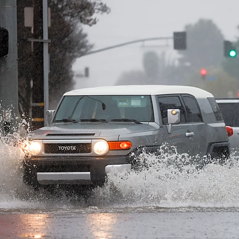
This deceleration meant that the system continued to draw moisture from the Gulf and release it as heavy rain over the same areas for an extended period. The cities of Galveston and Beaumont, among others in southeastern Texas, bore the brunt of this relentless downpour. The continuous rainfall quickly overwhelmed drainage systems and natural waterways, leading to widespread and dangerous flooding. The initial weakness of the storm belied the immense hydrological impact it would soon have on the region.
The Accumulation of Catastrophe
The slow, deliberate movement of Imelda over land allowed for an extraordinary accumulation of rainfall. By September 19, just two days after landfall, areas were experiencing over 43 inches (1,100 mm) of rain. This immense volume of water necessitated dozens of water rescues as communities found themselves submerged. The sheer scale of the flooding made Imelda the fourth-wettest tropical cyclone on record in Texas history, a statistic that underscores the severity of the event despite the storm's relatively low wind speeds.
Imelda's remnants persisted for several more days, continuing to produce heavy rain and even isolated tornadoes before finally dissipating on September 21. The total damage from this slow-moving disaster was estimated to exceed $5 billion (2019 USD), and it tragically resulted in 7 fatalities. The case of Tropical Storm Imelda highlights that the duration and speed of a tropical system, particularly its ability to stall and deliver prolonged rainfall, can be as, if not more, destructive than its peak wind intensity, turning a seemingly weak storm into a catastrophic flood event.