








The Battle of Leyte, while initiated by strategic amphibious landings, quickly evolved into a grueling ground campaign characterized by the island's formidable geography and the tenacious defense mounted by Japanese forces. Leyte's interior, dominated by a heavily forested mountain range, presented significant challenges to the advancing U.S. Sixth Army. This rugged terrain, combined with the Japanese military's prepared defensive positions, transformed
the liberation effort into a series of hard-fought battles across ridges, valleys, and swamps.
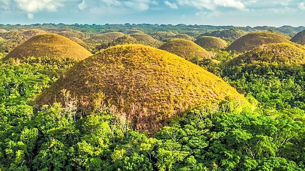
The island's landscape features two main plains: the larger Leyte Valley, extending from the northern coast to the eastern shore and containing most towns and roadways, and the Ormoc Valley on the west side. These valleys were connected by Highway 2, a critical artery that ran from Palo on the east coast, through Leyte Valley to Ormoc Bay, and then along the western shore to Baybay. High mountain peaks exceeding 4,400 feet and jagged karst formations offered natural defensive opportunities, further complicated by monsoon rains late in the year, which brought mudslides and falling trees.
Initial Advances and the Campaign in Leyte Valley
Following the successful landings, the Sixth Army made steady progress inland against sporadic and uncoordinated enemy resistance. The 1st Cavalry Division secured Tacloban, the provincial capital, on October 21, and Hill 215 the following day. On October 23, General MacArthur presided over a ceremony to restore civil government to Leyte. The 1st and 2nd Cavalry Brigades then initiated a holding action to prevent Japanese counterattacks from the mountainous interior.
On the X Corps' left flank, the 24th Infantry Division, under Major General Frederick A. Irving, pushed inland into heavy enemy resistance. After days of intense fighting, inflicting approximately 800 Japanese casualties, the 19th and 34th Infantry Regiments expanded their beachhead and secured high ground overlooking the entrance to the northern Leyte Valley. By November 1, after a seven-day tank-infantry advance supported by artillery, both regiments had traversed Leyte Valley and reached the north coast, with the port of Carigara being occupied the next day. These advances left only Ormoc City on the west coast as a major port under Japanese control.
The Grueling Battles for Ridges and Valleys
From the XXIV Corps beachhead, Major General James L. Bradley's 96th Infantry Division was tasked with clearing Catmon Hill, a 1,400-foot promontory used by the Japanese as an observation and firing post. Under continuous artillery and naval gunfire, Bradley's troops navigated swamps to reach the high ground. After a three-day battle, the 382nd Infantry Regiment captured a key Japanese supply base at Tabontabon, killing about 350 Japanese. Simultaneously, battalions from the 381st and 383rd Infantry Regiments slowly advanced up Catmon Hill, battling fierce resistance. By October 31, after clearing 53 pillboxes, 17 caves, and several heavy artillery positions, Catmon Hill was secured.
On the left of XXIV Corps, the 7th Infantry Division, led by Major General Archibald V. Arnold, moved inland against Japanese airfields, using "flying wedges" of American tanks to clear the way for infantry. They overcame fanatical resistance, including Japanese soldiers concealed in spider holes, and captured Dagami on October 30, forcing General Makino to evacuate his command post further westward. The advance into Leyte's interior was a testament to the resilience of American forces against both a determined enemy and an unforgiving landscape.