


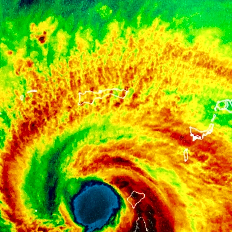



Hurricane Hazel, the deadliest, second-costliest, and most intense hurricane of the 1954 Atlantic hurricane season, left a trail of significant destruction across the United States. After causing immense devastation in Haiti, the storm made landfall near the border between North and South Carolina as a powerful Category 4 hurricane. Its impact was felt far beyond the immediate coastline, extending northward through several states as it transitioned
into an extratropical storm while still retaining hurricane-force winds and heavy rainfall. The sheer scale of the damage and the high number of fatalities in the U.S. underscored Hazel's ferocity.
Catastrophic Landfall in the Carolinas
Upon making landfall, Hurricane Hazel brought an overwhelming storm surge of over 18 feet to a large section of the coastline, leading to severe coastal damage. This impact was exacerbated by the hurricane coinciding with the year's highest lunar tide. In South Carolina, the storm generated 10-11 foot tides along the coast, obliterating hundreds of buildings, including approximately 80 percent of waterfront homes in Myrtle Beach. The high storm surge completely flooded low-lying sandy barrier islands. Two piers in Myrtle Beach were damaged, and in North Myrtle Beach, a three-story hotel and an 800-foot pier were swept out to sea. Cherry Grove Beach saw 75 residences demolished, while Pawleys Island lost 40 homes, with many others sustaining damage. South Carolina recorded one fatality and an estimated $27 million in damages.
Brunswick County, North Carolina, bore the brunt of the storm's initial impact, with most coastal dwellings either destroyed or severely damaged. A stark example is Long Beach, North Carolina, where only five out of 357 buildings remained standing. The official report from the Weather Bureau in Raleigh, North Carolina, grimly stated that "all traces of civilization on the immediate waterfront between the state line and Cape Fear were practically annihilated." NOAA further noted that "every pier in a distance of 170 miles of coastline was demolished." The Carolinas collectively suffered $163 million in damages, with $61 million attributed to beachfront property alone. The total damage in the United States ranged from $281 million to $308 million. Nineteen people died in North Carolina, and several hundred were injured, with 15,000 homes destroyed and another 39,000 damaged. Thousands were left homeless.
Inland and Northern Devastation
Despite causing the most severe damage in the Carolinas, Hazel did not lose its intensity as it moved inland. It turned extratropical by midday, merging with a cold front, but continued to unleash hurricane-strength winds and heavy rainfall. In North Carolina, the interior of the state received significant rainfall, with Robbins recording 11.3 inches and Carthage 9.7 inches. This heavy rain was, paradoxically, welcomed in the Carolinas and the rest of the Southeastern United States, which had been experiencing a severe drought.
As Hazel progressed northward through Virginia, West Virginia, Maryland, Delaware, New Jersey, Pennsylvania, and New York, it continued its destructive path. Virginia experienced wind gusts exceeding 100 mph in Norfolk, leading to roofs being torn off, trees and power lines toppled, windows shattered, and awnings ripped away. The naval station sustained minor damage. A tugboat, the Indian, sank in the James River, resulting in four of its eight crew members drowning. Portsmouth saw one building demolished and several others damaged. The ferry Princess Anne was beached at Kiptopeke, and an unfinished vessel at Newport News Shipbuilding broke free and was swept ashore. In Richmond, 200 storefronts were damaged, and part of a church steeple was toppled. A 150-foot microwave tower in Warsaw was knocked over. Approximately half of Virginia's residents lost telephone and electrical service for six days. The storm damaged about 18,000 homes and businesses, caused 12 deaths, and resulted in approximately $15 million in damage.
Throughout the region, power outages were widespread, and trees were downed. Wind gusts reached 99 mph across the area. Even though it was not near the storm's center, Battery Park in New York City recorded a gust of 113 mph, the highest wind speed ever documented within the city's municipal boundaries. Rainfall was heavier on the western side of the storm, with West Virginia averaging 9 inches and localized amounts of 12 inches in the Appalachians. Pittsburgh, further north, reported 3.5 inches. The Washington, D.C. area was particularly affected, and considerable flooding occurred in the Virginias and Maryland, including parts of the Naval Academy in Annapolis. New Jersey largely avoided major flooding due to a low tide, but in Chesapeake Bay, most crab pots were destroyed. Hazel lost moisture crossing the Allegheny Mountains, causing rivers and streams in the Pittsburgh area to rise significantly above flood levels. In Pennsylvania, winds were strong enough to unroof several homes. Upstate New York saw highways and railroads blocked, and the 491-foot tower of television station WTVE in Elmira was toppled, leaving the station off the air for 19 months.