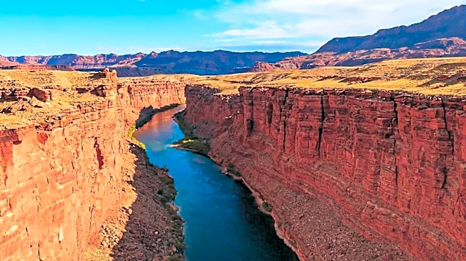







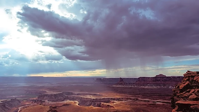
Canyonlands National Park, located in southeastern Utah near Moab, is a remarkable landscape carved by the powerful forces of the Colorado and Green Rivers. Established on September 12, 1964, the park preserves a vibrant terrain of canyons, mesas, and buttes. Its unique geography, shaped by these two major rivers and their tributaries, divides the park into distinct districts, each offering a different perspective on this rugged wilderness. Beyond
its natural grandeur, Canyonlands also holds a rich history of human habitation, with evidence of ancient cultures etched into its rock formations.
The Genesis of a National Park
The idea for Canyonlands National Park began to take shape in the early 1950s, largely thanks to Bates Wilson, who was then the superintendent of Arches National Monument. Wilson embarked on explorations of the areas south and west of Moab, Utah, and was particularly struck by what is now known as the Needles District. His advocacy for a new national park to encompass the Needles marked the initial step in the park's creation. Further explorations by Wilson and others led to an expanded vision for the park, including the significant confluence of the Green and Colorado rivers, the remote Maze District, and Horseshoe Canyon.In 1961, Secretary of the Interior Stewart Udall played a pivotal role after flying over the Confluence while en route to a conference at Grand Canyon National Park. This aerial view apparently ignited his interest in Wilson's proposal, leading Udall to actively promote the establishment of Canyonlands National Park. Utah Senator Frank Moss then introduced legislation in Congress, initiating a four-year period of debate, revision, and reintroduction of the proposal. This legislative process aimed to balance the interests of nature preservationists with those of commercial developers.
Geographic Divisions and Ancient Inhabitants
The Colorado and Green Rivers are central to Canyonlands' geography, as they converge within the park and effectively divide it into three primary districts: the Island in the Sky, the Needles, and the Maze. The Island in the Sky district, situated in the northern part of the park between the two rivers, is characterized by a broad, level mesa. From this vantage point, visitors can observe the White Rim, a sandstone bench approximately 1,200 feet below, and the rivers themselves, which lie another 1,000 feet beneath the White Rim.The Needles district, located south of the Island in the Sky on the east side of the Colorado River, is renowned for its distinctive red and white banded rock pinnacles. This area also features other naturally sculpted rock formations such as grabens, potholes, and arches. While many arches in nearby Arches National Park are easily accessible, most in the Needles district require extensive hikes or four-wheel drive excursions into backcountry canyons. This district also bears the marks of the Ancestral Puebloans, who inhabited the area. Their stone and mud dwellings are well-preserved, though many of their tools and items were unfortunately removed by looters. The Ancestral Puebloans also left behind rock art, notably petroglyphs on Newspaper Rock along the Needles access road.