


Hurricane Audrey stands out in meteorological history as a powerful and rapidly intensifying storm that struck the Gulf Coast in 1957. As the first named storm of the 1957 hurricane season, Audrey's development and progression offer valuable insights into the dynamics of tropical cyclones. This article explores the meteorological journey of Hurricane Audrey, from its formation to its eventual dissipation.
Formation and Rapid Intensification
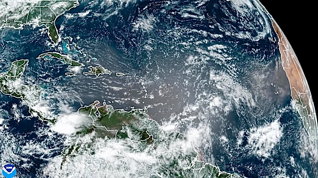
Hurricane Audrey originated from a tropical
wave that moved into the Bay of Campeche on June 24, 1957. Situated in an environment conducive to tropical development, the system quickly organized into a tropical depression. Within just six hours, Audrey intensified into a tropical storm, showcasing the rapid development potential of tropical cyclones in favorable conditions.
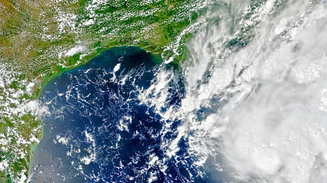
The storm continued to strengthen as it moved northward, driven by a trough in the upper atmosphere. By June 25, Audrey had reached hurricane status, and it continued to intensify as it approached the Gulf Coast. The hurricane's rapid intensification was aided by warm sea surface temperatures and favorable atmospheric conditions, allowing it to reach peak sustained winds of 125 mph by June 27.
Landfall and Inland Progression
Audrey made landfall on June 27, 1957, between the mouth of the Sabine River and Cameron, Louisiana, as a Category 3 hurricane. At landfall, the storm's minimum barometric pressure was recorded at 946 mbar, indicating its strength. The hurricane's powerful winds and storm surge caused significant damage along the coast, with the surge penetrating as far as 20 miles inland.
After making landfall, Audrey began to weaken as it moved inland. The storm's interaction with land and a cold front led to its transition into an extratropical cyclone by June 29. As an extratropical system, Audrey continued to produce heavy rainfall and strong winds as it moved northeastward across the United States, eventually dissipating over West Virginia.
Legacy and Meteorological Significance
Hurricane Audrey's rapid intensification and destructive impact highlighted the challenges of forecasting and preparing for tropical cyclones. The storm's unexpected acceleration and strength caught many off guard, leading to a high death toll and significant damage. In the aftermath of Audrey, meteorologists and emergency planners recognized the need for improved forecasting techniques and communication strategies.
The storm also contributed to advancements in hurricane research, particularly in understanding the factors that contribute to rapid intensification. Audrey's legacy continues to influence meteorological studies and disaster preparedness efforts, serving as a reminder of the power and unpredictability of tropical cyclones. As one of the strongest June hurricanes on record, Audrey remains a significant event in the history of meteorology.