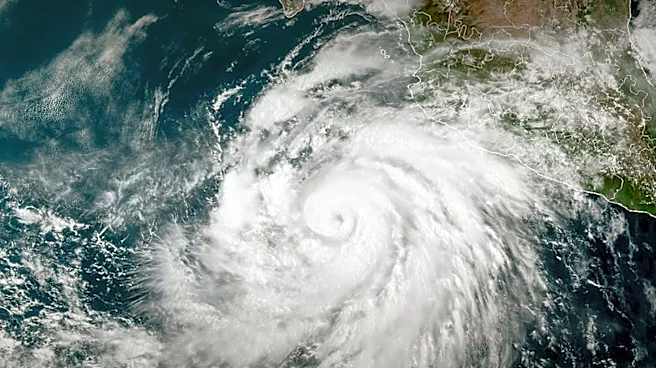






The Columbus Day storm of 1962, a name that evokes images of immense power and widespread destruction across the Pacific Northwest, had its humble beginnings thousands of miles away in the tropical waters of the Pacific Ocean. This formidable weather event, also known as the "big blow of 1962," was not born as an extratropical cyclone but rather as a tropical disturbance that would eventually evolve into Typhoon Freda. Understanding its full meteorological
history, from its initial formation to its devastating impact, reveals a complex journey across the ocean and a significant transformation that amplified its destructive potential.
From Tropical Disturbance to Category 3 Typhoon
The story of the Columbus Day storm truly begins on September 28, 1962, with the formation of a tropical disturbance over the Northwest Pacific. This disturbance marked the earliest stage of what would become Typhoon Freda, which was the twenty-eighth tropical depression, the twenty-third tropical storm, and ultimately the eighteenth typhoon of the 1962 Pacific typhoon season. Over the next few days, the system gradually organized and strengthened. By October 3, the disturbance had intensified sufficiently to be classified as a tropical storm, receiving the name Freda. On the very same day, Freda continued its rapid development, achieving typhoon status while moving in a northeastward direction.
The intensification of Freda was remarkable. It quickly reached its peak strength on October 5, becoming a Category 3-equivalent typhoon. At this point, Freda exhibited maximum 1-minute sustained winds of 115 mph and a minimum central pressure of 948 millibars. This level of intensity placed it among the most powerful tropical cyclones. Freda maintained this formidable strength for approximately another day, showcasing its robust structure and sustained energy. However, after October 6, the typhoon began a gradual weakening trend, a natural part of a tropical cyclone's life cycle as it moves into less favorable conditions.
The Critical Extratropical Transition and Acceleration
The crucial turning point in Freda's journey towards becoming the Columbus Day storm occurred on October 9, when it weakened back into a tropical storm. The very next day, October 10, marked its complete transition into an extratropical cyclone. This transformation is a key meteorological process where a tropical system loses its tropical characteristics and gains features more common to mid-latitude storms, often expanding in size and sometimes maintaining or even increasing its wind field over a larger area. Once extratropical, the system's dynamics changed, allowing it to interact differently with atmospheric patterns.
Following its extratropical transition, the system dramatically accelerated. On October 11, it turned eastward and began to race across the North Pacific. This rapid eastward movement was a critical factor in its swift arrival at the West Coast. By October 12, the powerful extratropical cyclone, now known as the Columbus Day storm, struck the Pacific Northwest. Its path continued, making landfall on Washington state and Vancouver Island on October 13, before curving northwestward. The system then moved further into Canada, gradually weakening until it was absorbed by another developing storm to the south on October 17. This detailed meteorological history underscores the complex and dynamic nature of the storm that left such a profound impact.