







Hurricane Florence in 2006 holds a notable place in North Atlantic hurricane history as the first to produce hurricane-force winds on the island of Bermuda since Hurricane Fabian in September 2003. Its meteorological journey was characterized by a complex interaction of tropical waves, slow development, and an unusually large wind field. Despite initial predictions of significant strengthening, Florence's path and intensity were influenced by various
atmospheric factors, ultimately bringing hurricane conditions to Bermuda before it transitioned into an extratropical cyclone over the North Atlantic. This event highlights the challenges in forecasting hurricane behavior and the resilience of island communities in the face of such powerful storms.
Genesis and Early Struggles for Organization
The origins of Hurricane Florence in 2006 can be traced back to a tropical wave that emerged off the coast of Africa on August 29. This wave tracked slowly westward, and by August 31, a second, faster-moving tropical wave exited the African coast. The interaction between these two waves was crucial, as they combined by September 2 to form a large area of disturbed weather across the eastern Atlantic Ocean. Within this disturbed area, convection increased, eventually leading to a concentrated area of convection coupled with a well-defined low-pressure area.
By late on September 3, the system maintained a broad closed circulation and sufficient convective organization to be classified as Tropical Depression Six, positioned roughly midway between the Lesser Antilles and Africa. Upon its classification, the depression exhibited multiple cloud swirls within a common center. Despite increasing banding features, southwesterly wind shear and the absence of a well-defined circulation initially hindered its strengthening. The presence of dry air further complicated its development, making it difficult for forecasters to pinpoint a clear center of circulation. The depression continued its west-northwest motion, guided by the southern periphery of a deep-layer subtropical ridge to its north. Despite these challenges, the overall organization gradually improved, and it is estimated that the depression intensified into Tropical Storm Florence on September 5, located approximately 1,120 miles (1,800 km) east-northeast of Anguilla.
Fluctuating Intensity and Unusually Large Size
After attaining tropical storm status, Florence's maximum sustained winds fluctuated between 40 and 50 mph (64 and 80 km/h) for three days. This variability was largely attributed to the storm's exceptionally large size. Its overall wind field reached a diameter of 460 miles (740 km), with the radius of maximum winds extending about 110 miles (180 km). By September 6, a well-defined cloud swirl became evident, accompanied by thin rainbands developing in the southeast and northwest quadrants. This led hurricane forecasters to anticipate significant development, even predicting that Florence might achieve major hurricane status.
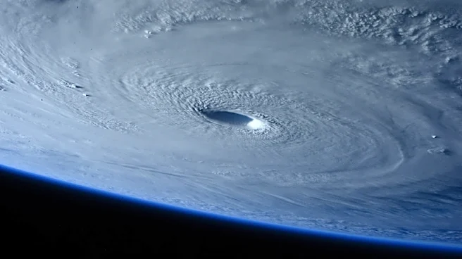
However, despite convection gradually migrating closer to the storm's center, a well-defined center of circulation remained elusive by late on September 6. On September 7, convection finally developed over and to the west of the center for the first time in its duration. Yet, Florence failed to intensify further, partly because its wind field had expanded to more than 1,035 miles (1,666 km) in diameter. This immense size presented forecasting difficulties, even though the environment seemed favorable for strengthening, with 84°F (29°C) water temperatures and light shear. By early September 8, the storm still presented an elongated, shapeless cloud pattern, atypical of a tropical cyclone. Later that day, an anticyclone developed over Florence, allowing the storm to consolidate around a vorticity center on the western side of its large cyclonic envelope. This consolidation led to more steady strengthening as it turned northwestward. Early on September 10, an eye began to develop within a round central dense overcast over the center, and shortly thereafter, Florence attained hurricane status while situated about 390 miles (630 km) south of Bermuda.
Bermuda Encounter and Extratropical Transition
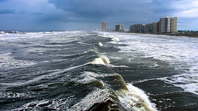
Once a hurricane, Florence turned north and then north-northeast, moving through a break in the subtropical ridge. Although its eyewall was open on the north side, favorable conditions initially led forecasters to predict Florence would pass near Bermuda as a strong Category 2 hurricane. However, the inner core of convection became ragged-looking on satellite imagery. Based on reports from Hurricane Hunters, it is estimated that the hurricane reached peak winds of 90 mph (140 km/h) late on September 10. Following further erosion of its eyewall, the hurricane weakened, and on September 11, it passed approximately 60 miles (97 km) west of Bermuda with winds of 85 mph (137 km/h). This passage brought hurricane-force winds to the island, marking a significant event for Bermuda.
After its encounter with Bermuda, the overall cloud pattern of Florence became slightly better organized, and it briefly re-strengthened. However, it soon encountered increased upper-level winds and cooler waters, which began to take their toll. Dry air wrapping around the southern periphery of the cyclone eroded most of the deep convection by early September 12. The cloud shield became asymmetrically displaced to the north of the center, and frontal-like features began to form, signaling its transition. On September 13, Florence transitioned into an extratropical cyclone about 485 miles (781 km) south-southwest of Cape Race, Newfoundland. Initially, it maintained hurricane-force winds as an extratropical storm, passing near Cape Race before turning east-northeast. By September 14, its winds weakened to gale force. The extratropical remnant then executed a broad cyclonic half-loop southwest of Iceland over several days, eventually turning west and being absorbed by a developing extratropical cyclone to its south, east of Greenland.