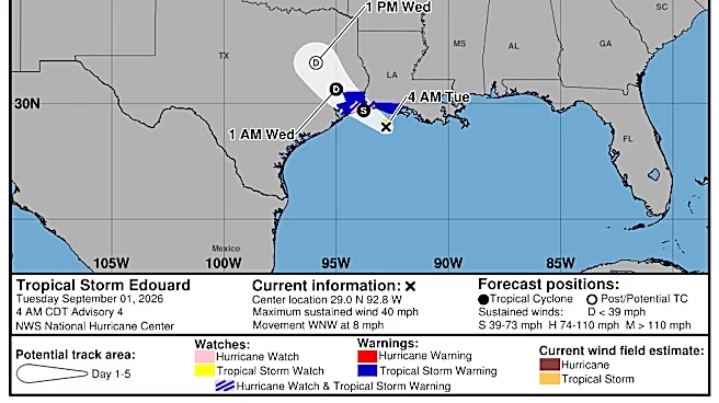







Hurricane Florence in 1988 marked a significant event during that year's Atlantic hurricane season, standing as the third of four named tropical cyclones to make landfall on the United States. This storm, the seventh tropical storm and second hurricane of the season, developed from an area of convection in the southern Gulf of Mexico. Its trajectory, initially eastward before turning northward, led it to strengthen into a hurricane just before striking
southeastern Louisiana. The impacts, though varied, included higher than normal tides and localized flooding, underscoring the vulnerability of coastal regions to even Category 1 hurricanes.
Formation and Path Through the Gulf
The origins of Hurricane Florence in 1988 can be traced to September 7, when an area of convection, associated with a dissipating frontal trough, began to organize in the southern Gulf of Mexico. This meteorological setup provided the necessary ingredients for tropical cyclogenesis. Initially, the storm moved eastward, a somewhat unusual trajectory for systems in this region. However, it soon shifted course, turning northward, which put the U.S. Gulf Coast directly in its path. As it moved, Florence steadily gained strength.
By September 9, Florence had intensified sufficiently to reach hurricane status, with peak winds recorded at 80 mph (130 km/h). This made it a Category 1 hurricane on the Saffir-Simpson scale. Its lowest pressure was measured at 982 mbar (29.00 inHg), indicating a well-developed system. This intensification occurred shortly before the storm made its anticipated landfall, giving coastal communities limited time to prepare for the approaching hurricane-force winds and associated hazards.
Landfall and Immediate Impacts in Louisiana
Hurricane Florence made landfall in southeastern Louisiana, bringing with it a range of impacts. One of the most notable effects was the production of higher than normal tides. A peak observation of 7.5 feet (2.3 m) above mean sea level was recorded on the Bayou Bienvenue, located east of New Orleans. Such storm surge can be particularly damaging to low-lying coastal areas, leading to significant inundation and property damage.
While storm surge was a primary concern, rainfall associated with Florence was relatively light across the affected areas. Amounts ranged from about 1 inch (25 mm) to a maximum of 4.05 inches (103 mm) recorded at Watson. Winds of tropical storm force were experienced across southeastern Louisiana, with gusts peaking at 64 mph (103 km/h) at an automatic Coast Guard Station on the Southwest Pass of the Mississippi River Delta. An unofficial tornado was also reported in Tangipahoa Parish, adding another layer of hazard. Minor storm surge flooding occurred outside the levee system in Plaquemines, Saint Bernard, and Saint Tammany Parishes, and strong wave action on Grand Isle resulted in significant beach erosion. The storm rapidly weakened over land and dissipated on September 11 over northeastern Texas, but not before causing an estimated $2.9 million in damages (1988 USD) and one direct fatality.