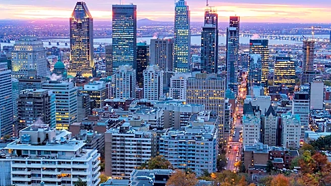




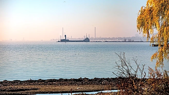


Montreal stands as Canada's second-largest city, a vibrant urban center uniquely shaped by its geography. Situated predominantly on the Island of Montreal within the Hochelaga Archipelago, the city's identity is intrinsically linked to the Saint Lawrence River to its south and the Rivière des Prairies to its north. At its heart lies Mount Royal, a prominent three-head hill that not only gives the city its name but also dictates its skyline. This interplay
of water and land, combined with specific geological formations and even peculiar local directional conventions, creates a distinct geographical character for Montreal.
An Island Metropolis at River Confluence
Montreal's primary geographical constraint and defining feature is its island location. The city occupies the central and eastern portions of the Island of Montreal, the largest island in the Hochelaga Archipelago. This archipelago itself is formed at the confluence of two major waterways: the Saint Lawrence River and the Ottawa River. The strategic position of Montreal's port at one end of the Saint Lawrence Seaway highlights its historical and ongoing importance as a river gateway connecting the Great Lakes to the Atlantic Ocean.
The island's shape is often described as croissant-like, and it is the most populous island in Canada, as well as the world's most populous freshwater island. Beyond the main island, the city's territory also includes Île Bizard, Saint Helen's Island, Notre Dame Island, Nuns' Island, and approximately 69 smaller islands. This extensive island system is bordered by the city of Laval to the north, Longueuil to the south, Repentigny to the east, and the West Island municipalities to the west, with several anglophone and francophone enclaves entirely surrounded by the city itself.
Mount Royal and Geological Foundations
The eponymous Mount Royal is the most prominent geographical feature on the island, a three-head hill that is central to the city's identity. This short mountain, with an elevation of 233 meters (764 feet), is a volcanic intrusion, not an extinct volcano as commonly believed, and is part of the Monteregian Hills. The bedrock of the island primarily consists of Chazy limestone, with some Utica shale, reflecting the broader geological context of Quebec.
Quebec's geology is characterized by three main regions: the Canadian Shield, the Appalachians, and the St. Lawrence lowlands. Montreal lies within the St. Lawrence lowlands, a comparatively small but densely populated area. This region, particularly the St. Lawrence Plain, is notably flat due to extensive clay deposits left by the ancient Champlain Sea, which once covered the entire Montreal area. This geological history contributes to the island's topography, which has also been significantly altered by human activity over time, with lakes drained and shorelines reclaimed.
Navigational Quirks and Local Directions
One of Montreal's unique geographical quirks is its system of street directions, which are skewed relative to actual compass directions. The Saint Lawrence River is conventionally considered to flow west to east, even though it flows north or northeast past the island. Consequently, streets parallel to the river are referred to as "west" and "east," while those perpendicular are called "north" and "south." This means that in much of Montreal, "north" actually points northwest, and in some areas, it can even be due west.
This discrepancy has led to Montreal being humorously called "the only city where the sun sets in the north." These "Montreal directions" are deeply ingrained in local parlance, used for street addresses and bus routes. Further folk customs include giving directions by going "up" or "down" streets perpendicular to the river, with "up" meaning towards Mount Royal and "down" towards the Saint Lawrence. This system can be particularly confusing on the north side of the mountain, where "up" still means Montreal "north" but literally involves going downhill from Mount Royal.