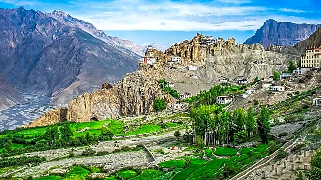

India is a land of remarkable geographical diversity, offering a wide array of landscapes that range from towering mountains to expansive plains and arid deserts. This diversity is encapsulated in the
country's six major physiographic regions: the Northern Mountains, Peninsular Plateau, Indo-Gangetic Plain, Thar Desert, Coastal Plains, and Islands. Each of these regions contributes to India's unique geographical identity and plays a crucial role in its climate, biodiversity, and human settlement patterns.
The Northern Mountains
The Northern Mountains, dominated by the Himalayas, form a formidable natural barrier in the north of India. These mountains are not only the highest in the world but also serve as a critical source of water for the Indian subcontinent. The Himalayas influence the climate by blocking cold winds from Central Asia, thus playing a significant role in the monsoon patterns that are vital for agriculture in India.
The Himalayas are also home to a rich variety of flora and fauna, some of which are unique to this region. The biodiversity found here is a result of the varied altitudes and climates within the mountain range. Additionally, the Northern Mountains are culturally significant, housing numerous pilgrimage sites and ancient monasteries that attract visitors from around the world.
The Peninsular Plateau
South of the Northern Mountains lies the Peninsular Plateau, a region characterized by its ancient geological formations. This plateau is home to several mountain ranges, including the Aravalli, Vindhya, and Satpura ranges, as well as the Eastern and Western Ghats. These ranges are interspersed with plateaus such as the Malwa Plateau and the Deccan Plateau, which are known for their rich mineral resources.
The Peninsular Plateau is crucial for India's agriculture, as it contains fertile soil and numerous rivers that provide irrigation. The region's diverse topography supports a variety of crops, making it an agricultural hub. Additionally, the plateau's mineral wealth has spurred industrial development, contributing significantly to India's economy.
The Indo-Gangetic Plain and Other Regions
The Indo-Gangetic Plain, also known as the Northern Plains, is one of the most fertile regions in India. Formed by the alluvial deposits of the Indus, Ganges, and Brahmaputra rivers, this plain supports a dense population and is a major agricultural zone. The plain's fertility and favorable climate make it ideal for growing a wide range of crops, including rice, wheat, and sugarcane.
Beyond the plains, the Thar Desert in the northwest presents a stark contrast with its arid landscape. Despite its harsh conditions, the desert supports a unique ecosystem and is home to a vibrant culture. The Coastal Plains, flanking the eastern and western coasts, are known for their scenic beauty and are vital for India's maritime activities. Lastly, the islands of Andaman and Nicobar and Lakshadweep add to India's geographical diversity, offering unique ecosystems and cultural heritage.
India's physiographic regions are a testament to the country's natural wealth and diversity. Each region, with its distinct characteristics, contributes to the nation's cultural and economic tapestry, making India a land of endless exploration and discovery.