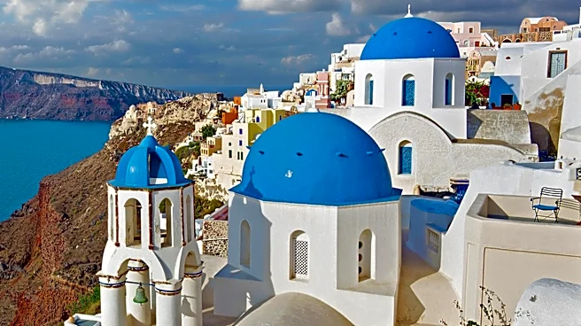






Santorini, known officially as Thira or Thera, is a Greek island whose very existence and iconic landscape are inextricably linked to its violent volcanic past. Situated in the southern Aegean Sea, this island is the largest of a small, circular archipelago formed by the Santorini caldera. The island's dramatic cliffs, unique geological formations, and even its ancient history are direct consequences of powerful volcanic eruptions, most notably the Minoan
eruption around 1600 BCE. This catastrophic event not only reshaped the island but also left an indelible mark on the region's history and geology, continuing to influence the island's present-day seismic activity.
The Minoan Eruption: A Bronze Age Cataclysm
The Minoan eruption, occurring around 1600 BCE, was a catastrophic volcanic event that devastated the Aegean island of Thera. This eruption, with a Volcanic Explosivity Index (VEI) of 7, is considered one of the largest volcanic events in human history, ejecting an estimated 28–41 cubic kilometers of dense-rock equivalent material. It destroyed the Minoan settlement at Akrotiri, as well as communities and agricultural areas on nearby islands and the coast of Crete, through subsequent earthquakes and tsunamis.
Geological evidence on Santorini reveals a 60-meter-thick layer of white tephra overlying the soil, clearly marking the ground level before the eruption. This layer exhibits three distinct bands, indicating different phases of the eruption. Studies have identified four major eruption phases and one minor precursory tephra fall. The thinness of the initial ash layer and the lack of significant erosion suggest that the volcano provided the local population with several months' warning. The absence of human remains at the Akrotiri site supports the theory that this preliminary volcanic activity prompted the island's inhabitants to flee. It is also believed that several months prior to the eruption, Santorini experienced one or more earthquakes that damaged local settlements.
Geological Evolution and Impact
Before the Minoan eruption, the walls of the caldera formed a nearly continuous ring of islands, with the only entrance between Thera and the tiny island of Aspronisi. The cataclysmic eruption was centered on a small island just north of the present-day Nea Kameni in the middle of the then-existing caldera. The northern part of the caldera was initially refilled by volcanic ash and lava, only to collapse again. The eruption was of the Plinian type, involving rhyodacite, and produced an eruption column estimated to be 30 to 35 kilometers high, reaching the stratosphere. Additionally, the magma underlying the volcano interacted with the shallow marine embayment, leading to violent phreatomagmatic blasts.
The eruption also generated tsunamis ranging from 35 to 150 meters high, which devastated the northern coastline of Crete, located 110 kilometers away. Coastal towns like Amnisos experienced significant damage, with building walls knocked out of alignment. On the island of Anafi, 27 kilometers to the east, ash layers 3 meters deep have been found, along with pumice layers on slopes 250 meters above sea level. The geological record shows that the Thera volcano erupted numerous times over hundreds of thousands of years before the Minoan event, following a cyclical process of violent eruption, collapse into a seawater-filled caldera, and subsequent refilling with magma to build a new volcano.
Recent Volcanic Unrest and Seismic Activity
Santorini's volcanic nature is not merely a historical footnote; it remains an active geological area. In July 2024, Santorini entered a new phase of volcanic unrest, marked by a significant increase in seismic activity. The most intense volcano-tectonic seismic sequence occurred in the broader Anydros islet area, approximately 30 kilometers northeast of Santorini, in late January 2025. However, low-seismicity intra-caldera unrest also began in early July 2024.
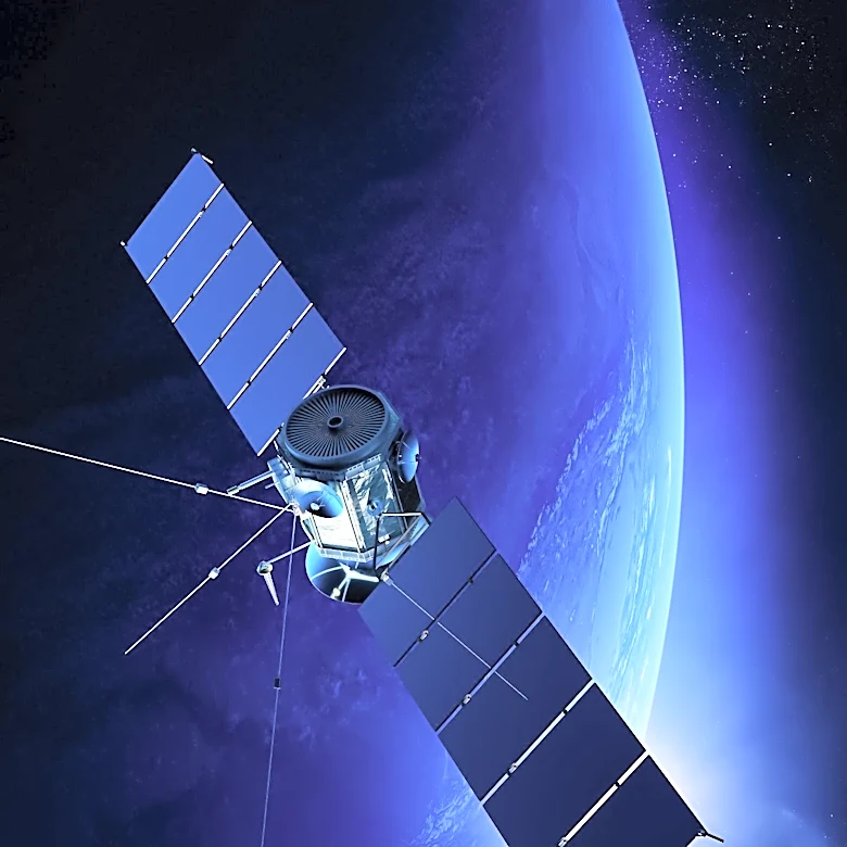
Starting in the summer of 2024, slow deformation was recorded within the Santorini caldera. From January 27 to February 24, 2025, rapid inflation was observed, with up to 7 millimeters of vertical and westward movement daily, confirmed by GNSS stations and satellite InSar measurements. This intense seismic activity led to the evacuation of 11,000 people from the island, with authorities closing schools and advising against large indoor gatherings. On June 15, 2025, a new seismic swarm was detected under Santorini, consisting mostly of small earthquakes (less than magnitude 3) clustered at depths between 5–20 kilometers along the SW–NE-oriented tectonic Kameni line. This line has been the primary source of magma ascent at the volcano for hundreds of thousands of years. While these earthquakes were triggered by magma movement through a fault system northeast of Santorini, the activity subsided about three months later, with the magma remaining more than 8 kilometers underground.