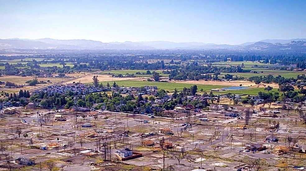









The Oakland firestorm of 1991, also known as the Tunnel Fire, left a profound scar on the landscape and community of northern Oakland and southeastern Berkeley. This catastrophic event, which raged from October 19 to October 23, 1991, resulted in 25 fatalities and 150 injuries. The sheer scale of destruction was immense, with 1,520 acres burned and 2,843 single-family dwellings along with 437 apartment and condominium units destroyed. The financial
cost was staggering, estimated at $1.5 billion in 1991, highlighting the devastating impact such a disaster can have on a community. The fire's aftermath brought into sharp focus the challenges of urban-wildland interface fires and the critical need for effective disaster preparedness and response.
Challenges in Firefighting and Coordination
The initial response to the Oakland firestorm was severely hampered by a multitude of difficulties. Firefighting teams were quickly overwhelmed by the intensity and rapid spread of the blaze, which was driven by wind gusts sometimes exceeding 70 miles per hour. These extreme winds created erratic and dangerous fire behavior, making containment incredibly challenging. A significant obstacle was the failure of the Oakland water system, as power lines to 17 pumping stations were taken out by the flames, leading to a critical shortage of water. Firefighters from outside agencies also encountered equipment compatibility issues, such as hydrants with different outlet sizes than their hoses, further complicating efforts.
Communication breakdowns were another major problem. The Oakland Fire Department's antiquated equipment and lack of access to statewide radio frequencies, a consequence of budget restrictions in previous years, prevented effective coordination with the numerous mutual aid resources that eventually arrived. In some areas, firefighters simply ran out of water because there was no power to refill the emptied reservoirs. The narrow, winding roads in the affected areas, often clogged with parked cars—many illegally blocking fire hydrants—also hindered the movement of emergency vehicles. The fire's rapid progression, destroying a house every 11 seconds at its peak and nearly 790 structures within the first hour, meant that by the time most resources could be mobilized, the fire had already established a vast perimeter.
Environmental Factors and Historical Context
Several environmental factors contributed to the fire's ferocity. The blaze started at the interface between developed and undeveloped land, where many of the first homes to burn were surrounded by thick, dry vegetation. The nearby undeveloped land also contained abundant dry brush, providing ample fuel. The prevalence of wood shake or shingle roofs, easily ignited by embers, and the use of wood chip mulch in landscaping, which could be blown around to spread embers, exacerbated the situation. These conditions were amplified by the hot, dry northeasterly winds, known as "Diablo winds," which are notorious for fueling major wildfires in California during the early fall season. These winds are similar to the Santa Ana winds in Southern California and have been implicated in numerous devastating fires throughout the state's history.
The Oakland firestorm was not an isolated incident but part of a recurring pattern of fire events in the region. The same conditions, particularly the Diablo Winds, contributed to a major conflagration in Berkeley in 1923 and a more limited fire in the same area in September 1970. A smaller fire also occurred in Wildcat Canyon in December 1980. This history underscores the persistent fire risk in the Oakland and Berkeley hills. The 1991 fire eventually prompted a massive response, involving as many as 400 engine companies, 1,500 personnel, and 250 agencies. Assistance came from as far north as the Oregon state line, as far south as Bakersfield, and as far east as the Nevada state line, though initial delays were noted. Satellite and infrared photographs, provided by NASA Ames Research Center's Disaster Assistance and Rescue Team (DART), were crucial in helping firefighters map the fire's extent and identify hidden hot spots, aiding in the eventual containment of the blaze by October 23.