





A Clearer Picture Than Maps Alone
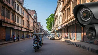
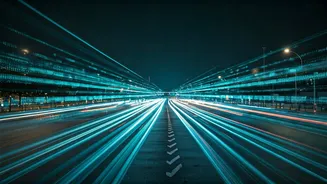
While navigation apps like Google Maps are essential for route planning and estimated traffic delays, they don’t always capture the complete ground reality. They might show a red line indicating a jam, but a live camera feed can show you why. Is it a temporary
bottleneck, a major accident, or simply high volume? This visual information allows for more informed decisions. Several modern Indian navigation apps, such as Mappls, are even incorporating features like 3D views and real-time alerts for traffic cameras and road hazards, offering a richer dataset before you even start your journey.
Finding and Using Traffic Feeds
Many city traffic police departments and municipal corporations across India are making real-time traffic information more accessible. The Bengaluru Traffic Police, for example, have developed apps like ASTraM to provide commuters with live updates on congestion and incidents based on a vast network of cameras. Similar initiatives exist in other major cities. Before you travel, a quick search for the traffic police website or official app for your destination city can yield valuable resources. The National Highways Authority of India (NHAI) also maintains an extensive network of over 12,000 cameras along major highways like the Golden Quadrilateral, with some data being made available to the public.
Assessing Crowd Density at Destinations
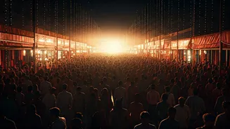
Festivals are synonymous with crowds, especially at religious sites. Authorities now extensively use AI-powered CCTV for crowd management at major events like the Kumbh Mela and at popular shrines like Vaishno Devi. While the public may not have direct access to these specific security feeds, the data they generate informs official decisions. This often results in real-time updates on official social media channels or Variable Message Displays (VMDs) on approach roads, suggesting alternative routes or warning of overcrowding. For major festivals like the Karthigai Deepam, authorities use AI analytics to predict crowd flow and manage pressure points, enhancing safety for everyone. Checking these official sources can help you decide the best time to visit a temple or ghat, avoiding dangerous surges.
A Pre-Trip Recce from Your Home
Think of public CCTV feeds as a virtual reconnaissance tool. Planning a road trip through the mountains? Certain highway cameras can give you a live look at weather and road conditions. Wondering about the parking situation at a popular market or tourist spot? A strategically placed public camera might save you the trouble of circling for an hour. Some websites act as aggregators for publicly accessible cameras around the world, including in India, allowing you to get a feel for a place before you arrive. This can be particularly useful for checking the general atmosphere, accessibility, and busyness of a destination during a festive period.
Enhancing Personal Safety and Awareness
Beyond convenience, monitoring traffic and public spaces has a safety component. Being able to see that a particular route is clear and flowing smoothly provides peace of mind. Conversely, seeing visuals of a disruption or an unusually large, static crowd can help you decide to delay your travel or choose an alternative route, avoiding potentially stressful or unsafe situations. During festivals, police departments often increase surveillance specifically to ensure public safety, using CCTV and even drones to monitor procession routes and crowded areas. By using the same information that is available publicly, you are simply adding another layer of awareness to your travel plan.