








The Workhorse: GSLV-F17
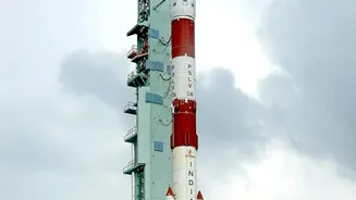
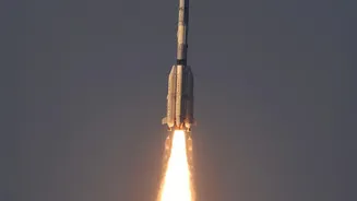
Think of the GSLV-F17 as the heavy-duty courier that delivered the precious package. GSLV stands for Geosynchronous Satellite Launch Vehicle, and this was the 19th time ISRO has used this type of rocket. Standing 51.7 metres tall, the three-stage vehicle
is designed for exactly this kind of job: launching heavy satellites into high orbits. The first stage uses a combination of solid fuel and four liquid-fueled strap-on boosters to provide the immense thrust needed for liftoff. The second stage continues the push with a powerful liquid-fueled engine. What makes the GSLV special is its third and final stage: the cryogenic upper stage. This highly complex system uses liquid hydrogen and liquid oxygen at extremely low temperatures as propellants, giving it the efficiency needed to place a heavy satellite, like the 2,367 kg EOS-05, into a very specific orbit far from Earth. The successful flight of GSLV-F17, which uses an indigenously developed cryogenic engine, reaffirms India's self-reliance in launching its most critical and heaviest space assets.
The Payload: India's New Eye in the Sky
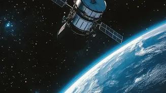
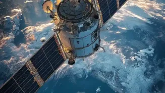
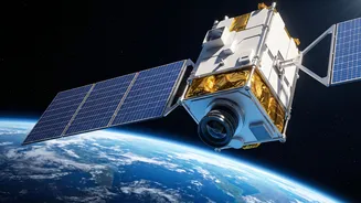
The main star of the mission is the EOS-05 satellite. Unlike most of India's other Earth observation satellites, which operate in Low Earth Orbit (LEO) and circle the planet every couple of hours, EOS-05 is different. It was sent towards a Geosynchronous Orbit, approximately 36,000 kilometres away. At this altitude, a satellite's speed matches the Earth's rotation. This allows it to 'hover' over a large geographical area, providing persistent and repeated coverage of the Indian subcontinent and surrounding regions. EOS-05 is India's first dedicated geo-imaging satellite designed for this purpose. It carries advanced imaging instruments, including multi-spectral and hyperspectral cameras that can see in visible, near-infrared, and short-wave infrared light. This means it can capture detailed images of the land and sea, scanning the entire Indian landmass roughly every 30 minutes and revisiting specific areas of interest in as little as five minutes.
A Launch of Strategic Importance
So, why is having a constant eye over the subcontinent so important? The applications are vast and vital for the nation. For disaster management, EOS-05 offers an unprecedented advantage. It can provide near real-time imagery of rapidly developing natural disasters like cyclones, floods, and forest fires, allowing authorities to respond more effectively. For agriculture, the satellite can monitor crop health, assess soil conditions, and help manage water resources more efficiently. Beyond these civilian uses, the mission has significant strategic value. The ability to maintain persistent surveillance over border areas and monitor the Indian Ocean enhances the nation's security apparatus. The satellite's data will support a wide range of governmental applications, from urban planning and environmental monitoring to ensuring the safety and security of the country's assets. It complements India's existing network of lower-orbit satellites, which provide very high-resolution images but cannot offer the same continuous watch.
The Journey Isn't Over Yet
While the launch was a complete success, the satellite's journey has just begun. The GSLV-F17 rocket did its job perfectly, placing EOS-05 into what is called a Sub-Geosynchronous Transfer Orbit (Sub-GTO). This is a highly elliptical orbit, a sort of parking spot in space. From here, the satellite will use its own onboard propulsion system to perform a series of carefully planned engine firings. These 'orbit-raising manoeuvres' will gradually push the satellite higher and circularise its path over the coming days. Once it reaches its final destination at 36,000 km, ISRO's scientists will carry out a series of tests to ensure all its systems and cameras are working perfectly before it begins its official service, a mission expected to last for many years.