




India’s Guardians in Orbit
The Indian Space Research Organisation (ISRO) operates one of the world's most sophisticated constellations of Earth observation satellites. This is not just about national pride; it's a critical infrastructure that saves lives and secures livelihoods.
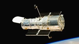
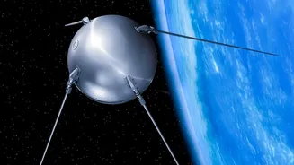
The system is built around several key satellite series. The INSAT (Indian National Satellite System) series, including satellites like INSAT-3D and the recently launched INSAT-3DS, act as dedicated weather watchers. From their geostationary orbit, they keep a constant eye on the Indian subcontinent, tracking cloud patterns, temperature, and humidity. Complementing them are the IRS (Indian Remote Sensing) and RISAT (Radar Imaging Satellite) series, which can see through clouds and darkness, making them invaluable for mapping terrain and, crucially, for assessing ground conditions during heavy monsoons. Together, they form a multi-layered system designed to give India the data it needs, when it needs it most.
Taming the Fury of Cyclones
For India’s long coastline, cyclones are a recurring threat. The difference between timely evacuation and widespread tragedy often comes down to early and accurate warnings. This is where ISRO's meteorological satellites, like the INSAT series, become lifesavers. They monitor the vast stretches of the Arabian Sea and Bay of Bengal, detecting the tell-tale signs of a forming depression. As a storm gathers strength, the satellites provide continuous updates on its intensity, wind speed, and trajectory. The India Meteorological Department (IMD) uses this stream of data to issue precise warnings, predicting where and when a cyclone will make landfall. This allows disaster management agencies, like the National Disaster Management Authority (NDMA), to mobilise resources, conduct targeted evacuations, and prepare for the aftermath, drastically reducing the loss of life.
Watching Over the Waters
Floods, whether from torrential monsoons or overflowing rivers, are another major challenge. During these events, heavy cloud cover often renders traditional optical satellites blind. This is where radar imaging satellites, particularly the RISAT series, demonstrate their unique power. Their radar signals can penetrate clouds and rain, providing clear pictures of the ground below, day or night. ISRO's National Remote Sensing Centre (NRSC) uses this capability to generate near real-time flood inundation maps. These maps show exactly which villages and infrastructure are submerged, allowing authorities to direct rescue teams to the worst-hit areas and plan relief operations effectively. By comparing before-and-after imagery, they can also rapidly assess the extent of the damage to homes, crops, and public infrastructure, which is crucial for recovery efforts.
A High-Tech Friend to the Farmer
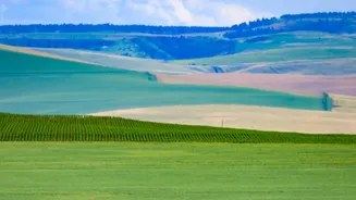
Beyond disaster management, satellites are revolutionising Indian agriculture. For a sector that employs a majority of the population, timely and accurate information is gold. ISRO's satellites provide a wealth of data for various agricultural programmes. Initiatives like FASAL (Forecasting Agricultural output using Space, Agro-meteorology and Land-based observations) use satellite imagery to estimate crop acreage and predict yields for major crops before the harvest. This helps in managing food security and stabilising market prices. Satellites also monitor soil moisture levels and vegetation health, enabling drought assessment through systems like NADAMS (National Agricultural Drought Assessment and Monitoring Systems). More recently, platforms like Krishi-DSS are empowering farmers with real-time data on everything from weather forecasts to pest outbreak warnings, paving the way for data-driven, precision agriculture that optimises the use of water and fertilisers.