


An Unblinking Eye in the Sky
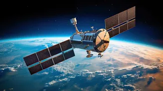
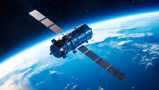
Imagine a satellite that doesn’t just pass over a location once or twice a day, but stays perfectly still over one spot, watching it continuously. That’s the magic of a geostationary orbit. Positioned at an altitude of about 36,000 kilometres, these satellites
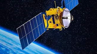
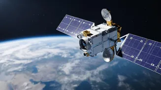
match the Earth's rotation, allowing them to hover over the same geographical area. This gives the Indian Space Research Organisation (ISRO) a persistent, 24/7 view of the Indian subcontinent. While Low Earth Orbit (LEO) satellites provide high-resolution snapshots, geostationary satellites offer the bigger picture in real time, making them invaluable for tracking rapidly developing events. Satellites like the INSAT series (including INSAT-3D and INSAT-3DR) and the newer EOS-05 (also known as GISAT) are ISRO's primary tools for this constant vigil.
Predicting Nature's Fury with Precision
For a country that contends with intense monsoons and powerful cyclones, the ability to predict weather accurately is a matter of life and death. ISRO's geostationary satellites like INSAT-3D and INSAT-3DR are at the forefront of this effort. They are equipped with advanced imagers and sounders that continuously monitor cloud patterns, measure sea surface temperatures, and track wind directions. This constant stream of data, updated as frequently as every 15 to 30 minutes, allows the India Meteorological Department (IMD) to detect the genesis of cyclones in the Bay of Bengal and the Arabian Sea much earlier. This capability provides crucial lead time for disaster management agencies to issue warnings, evacuate coastal populations, and save countless lives. Beyond cyclones, these satellites help in nowcasting severe thunderstorms, monitoring fog, and even providing advanced warnings for lightning strikes.
A New Frontier in Border Security
The same technology that tracks clouds can also provide a strategic advantage in national security. Satellites like EOS-05 are designed with a dual-use purpose, serving both civilian and defence needs. From their fixed vantage point, these satellites can provide near-real-time imagery of sensitive border areas. This allows security agencies to monitor large areas for unusual activities, track infrastructure developments near the border, and maintain situational awareness without the delays associated with satellites in lower orbits. While LEO satellites provide sharper detail, the strength of a geostationary imager is its persistence. It can be tasked to revisit a specific area of interest every five minutes, offering a powerful tool for monitoring evolving situations. This capability of 'constant stare' adds a new, formidable layer to India's surveillance and reconnaissance capacity, acting as a deterrent and an early warning system.
The Power of Real-Time Information
The term 'real-time' is central to the value of geostationary imaging. In this context, it refers to the ability to receive frequent, rapid updates that allow for immediate decision-making. When a cyclone is intensifying or a flash flood is imminent, having images every 15 or 30 minutes is a game-changer compared to waiting hours for another satellite to pass. This rapid refresh rate means that disaster response teams can see how a situation is unfolding and deploy resources more effectively. On the security front, it means that any changes across the border can be flagged and analysed quickly. The satellites are designed to deliver data directly to key agencies, ensuring that the information gets to the forecasters, disaster managers, and security planners who need it most, enabling them to act decisively.