






An Unblinking Eye Over India
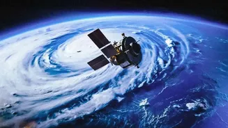
So, what makes GISAT-1A so special? The key is its orbit. Unlike many Earth observation satellites that circle the globe in lower orbits, GISAT-1A will be placed in a geostationary orbit approximately 36,000 kilometres above the equator. At this altitude,
the satellite's orbital period matches the Earth's rotation, making it appear stationary over the Indian subcontinent. This provides an unprecedented capability: continuous, near real-time monitoring of a vast geographical area. While other satellites might pass over a specific point a few times a day, GISAT-1A will maintain a constant watch, acting like a permanent celestial sentry. The satellite is designed to image the entire Indian landmass roughly every half hour and can be steered to focus on a specific area of interest for a new image every five minutes. This mission, also designated EOS-05, is a significant moment for ISRO, serving as a replacement for the GISAT-1 (EOS-03) which was lost during a launch failure in August 2021.
A Game-Changer for National Security
The strategic implications of GISAT-1A are immense. A satellite that provides persistent surveillance is a powerful asset for national security. From its high perch, it can monitor border areas, track troop movements, and keep an eye on maritime activities across the Indian Ocean. This ability to get rapid, high-frequency updates on areas of interest provides a significant advantage for defence planning and operations. Before, monitoring relied on satellites in lower orbits with less frequent revisit times or on other intelligence sources. GISAT-1A fills this critical gap, offering a consistent and reliable stream of imagery. While it is primarily a civilian satellite, its dual-use nature means it will be an invaluable tool for the armed forces, enhancing situational awareness along India's vast and complex borders. The ability to quickly task the satellite to observe a developing situation gives decision-makers a crucial edge.
A Shield Against Natural Disasters
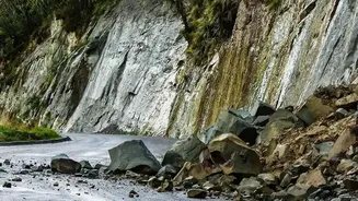
Beyond its strategic role, GISAT-1A is a formidable tool for public good, particularly in disaster management. India is a country prone to natural calamities, from cyclones and floods to forest fires and earthquakes. The satellite's ability to provide near real-time imagery can be life-saving. It can help authorities track the formation and path of cyclones with greater accuracy, monitor rising floodwaters in real-time, and assess the extent of damage in the aftermath of a disaster. This rapid flow of information is critical for issuing timely warnings, evacuating populations, and deploying relief and rescue teams to the areas that need it most. By providing a clear picture of the situation on the ground, GISAT-1A will help make disaster response faster, more efficient, and more effective, ultimately helping to minimize the loss of life and property.
Boosting Agriculture and Development
The satellite's advanced sensors, which include multi-spectral and hyper-spectral imagers, have a wide range of civilian applications that will benefit the economy and environment. For agriculture, it can monitor crop health, assess soil moisture, and help in yield prediction, providing vital data for farmers and policymakers. In terms of infrastructure and urban planning, the satellite's imagery can be used to monitor urban sprawl, plan new infrastructure projects, and manage natural resources more effectively. Furthermore, it will play a key role in environmental monitoring by tracking deforestation, observing the health of glaciers and snow cover in the Himalayas, and studying oceanographic patterns. This wealth of data will support everything from mineral exploration to long-term climate change studies, making GISAT-1A a truly versatile national asset.