




A Sharper Eye on the Ocean
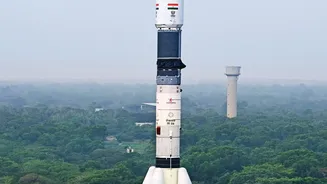
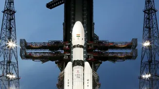
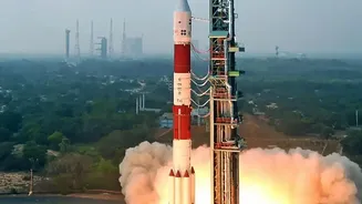
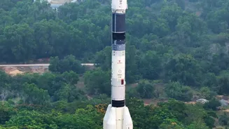
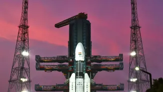
At the heart of this advancement are ISRO's new-generation satellites, particularly the Earth Observation Satellite (EOS-06), also known as Oceansat-3, and the INSAT series. While not a single 'upgrade' but a continuous enhancement of capabilities, these
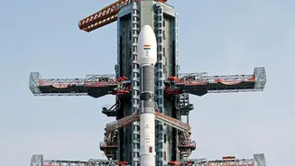
satellites represent a significant leap forward. Launched in late 2022, Oceansat-3 is equipped with sophisticated instruments like a scatterometer (SCAT-3) and an Ocean Colour Monitor (OCM-3). These tools work together to provide a more detailed and dynamic picture of the ocean surface than ever before. The scatterometer measures the roughness of the sea, which allows scientists to calculate wind speed and direction with remarkable accuracy. This is crucial because cyclones and storm surges are born from the interaction between the ocean and the atmosphere. The INSAT series, including the recently launched INSAT-3DS in February 2024, provides continuous monitoring every 15 minutes, tracking cloud formation, temperature, and moisture, which are key ingredients for storms.
Decoding Waves and Surges
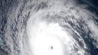
So, how does tracking ocean waves lead to better storm surge warnings? A storm surge is a rise in sea level caused primarily by a storm's powerful winds pushing water onshore. It's often the most dangerous element of a coastal storm. The improved satellite technology allows the India Meteorological Department (IMD) to monitor the key variables that create these surges in near real-time. The scatterometer on Oceansat-3 provides precise data on surface winds, a critical factor in determining the potential size of a surge. Meanwhile, other instruments measure sea surface temperature; warmer waters act as fuel for cyclones, intensifying them and increasing the surge risk. By feeding this high-resolution data into advanced computer models, forecasters can simulate how a storm will behave and how high the water is likely to rise along specific coastal areas, moving from generalised predictions to location-specific, impact-based warnings.
From Data to Life-Saving Alerts
The journey from a satellite image to an actionable warning on the ground involves a seamless collaboration between ISRO and the IMD. ISRO's satellites, like the INSAT and Oceansat series, are the eyes in the sky, constantly gathering raw data. This data is processed at centres like the Meteorological and Oceanographic Satellite Data Archival Centre (MOSDAC) and fed directly into the IMD's forecasting models. Recently, the IMD has digitised and automated much of this process through its Multi-Hazard Early Warning Decision Support System (MHEW-DSS). This system has reportedly improved forecast accuracy by 30% and reduced the time it takes to prepare warnings by 50%. The resulting alerts are then disseminated through multiple channels, including the 'Mausam' mobile app and the 'SACHET' platform, ensuring that warnings reach everyone from disaster management officials to the general public in vulnerable areas.
Why This Matters for India's Coastline
With a coastline stretching over 7,500 kilometres, India is highly vulnerable to the fury of tropical cyclones. Storm surges, in particular, pose a massive threat to life and property in low-lying coastal regions. The improved accuracy and lead time for warnings enabled by these satellite upgrades are game-changers for disaster preparedness. More precise landfall predictions and surge height estimates allow authorities to conduct targeted evacuations, saving resources and, more importantly, lives. This capability helps avoid unnecessary panic while ensuring those truly at risk are moved to safety. It represents a shift from reactive response to proactive mitigation, a cornerstone of modern disaster management and a crucial step in protecting India's coastal communities.
The Future of Weather Forecasting
This enhancement in monsoon and cyclone tracking is part of a larger push by India to become a world leader in weather and climate science. ISRO is already planning the next generation of satellites, including the joint NASA-ISRO Synthetic Aperture Radar (NISAR) mission, which will be able to detect minute changes on the Earth's surface, further aiding flood and erosion monitoring. The IMD also plans to commission new INSAT-4 series satellites by 2028-29, which will feature even better resolution and sensors for forecasting specific threats like lightning. By continuously upgrading its space-based observation infrastructure, India is not just building technological prowess; it is building a more resilient nation, better equipped to handle the challenges of an increasingly unpredictable climate.