





India's Guardians in the Sky
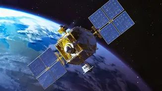
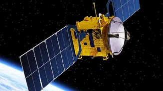
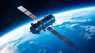
The Indian Space Research Organisation (ISRO) operates one of the world's most comprehensive civilian Earth Observation (EO) satellite programs. These satellites act as our 'eyes in the sky', continuously monitoring the land, oceans, and atmosphere. While
the headline points to a specific satellite, it's the entire Earth Observation Satellite (EOS) constellation that forms the backbone of the nation's weather and disaster management strategy. This network includes various series like INSAT, RISAT, and the ocean-focused Oceansat satellites, all working in concert to provide a complete picture of climatic conditions. This space-based infrastructure is no longer the stuff of science fiction; it is a vital national asset that provides the data for everything from daily weather apps to early warnings for catastrophic cyclones.
Meet the Ocean Watcher: EOS-06
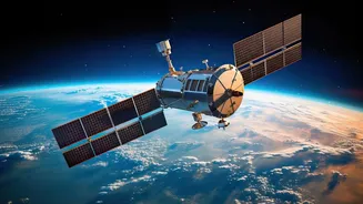
A key player in this system is EOS-06, also known as Oceansat-3, which was successfully launched in November 2022. As the third generation in the Oceansat series, its mission is dedicated to oceanography and atmospheric studies. Since weather patterns, especially in a monsoon-driven country like India, are deeply influenced by the oceans, monitoring them is critical. EOS-06 orbits the Earth in a sun-synchronous orbit at an altitude of about 740 kilometres, equipped with a suite of powerful sensors designed to capture data that was previously hard to obtain. This satellite provides continuity for services from its predecessors but with significantly enhanced capabilities, making it a cornerstone of modern Indian meteorology.
The Science of Cyclone Prediction
So, how does a satellite orbiting hundreds of kilometres away predict weather on Earth? The magic lies in its instruments. EOS-06 carries three primary sensors. The first is a Ku-Band Scatterometer (SCAT-3), which measures wind speed and direction over the ocean surface by bouncing radar beams off the water. This is crucial for identifying the early stages of a cyclone's formation, known as cyclogenesis. The second is a Sea Surface Temperature Monitor (SSTM), which, as the name suggests, measures the temperature of the ocean's surface. Since warm ocean waters are the fuel for cyclones, this data helps forecasters predict a storm's potential intensity. For instance, the satellite captured vital data during Cyclone Mandous in 2022. Finally, an advanced Ocean Colour Monitor (OCM-3) studies phytoplankton and other factors that indicate ocean health and currents. Together, these instruments provide a rich dataset that feeds directly into the predictive models used by the India Meteorological Department (IMD).
From Data to Daily Life
The impact of satellites like EOS-06 extends far beyond the scientific community. The data collected enables highly accurate, near-real-time tracking of a cyclone's path and intensity. This allows disaster management agencies to issue timely and precise evacuation orders, as was seen during Cyclone Fani in 2019, where over a million people were moved to safety based on satellite-aided predictions. For farmers, tracking the monsoon's progress is essential for planning sowing and harvesting. Furthermore, the information on ocean currents, temperature, and wind helps fishermen locate potential fishing zones, saving fuel and improving their livelihoods. Radar imaging satellites in the EOS family, such as those in the RISAT series, can even peer through thick cloud cover, providing invaluable maps of flooded areas during heavy monsoon rains to guide rescue and relief operations.