






The Foundation of Our Digital World
Every time you use a GPS, you are tapping into a global geodetic reference system. Think of it as the planet’s high-tech blueprint, a unified grid that allows us to pinpoint locations with incredible accuracy. This system, known as the International Terrestrial
Reference Frame (ITRF), is foundational for everything from satellite navigation and climate science to agriculture and autonomous vehicles. However, the ITRF is not perfect. It's built by combining data from several different ground-based observation techniques, including GPS (or more broadly, GNSS), Satellite Laser Ranging (SLR), and Very Long Baseline Interferometry (VLBI). Tying the data from these separate systems together has historically introduced tiny but significant errors, measured in millimetres. While that sounds small, these errors can limit our ability to track subtle but critical changes on Earth, such as the movement of tectonic plates or the melting of ice sheets.
Introducing GRITSS: A Translator in Space
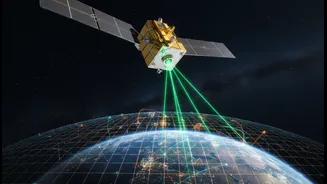
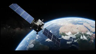
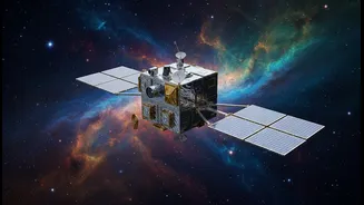
GRITSS, which stands for Geodetic Reference Instrument Transponder for Small Satellites, is a new technology designed to solve this problem. Developed in a collaboration including NASA and the University of Massachusetts Lowell, the system is a suitcase-sized satellite that launched into orbit in early July 2026. Its core function is to act as a single, unified reference point in space that can be observed by all the different ground systems simultaneously. The key innovation is how GRITSS bridges the gap between GNSS and VLBI networks. It carries a special receiver that captures GPS signals, then immediately upconverts and rebroadcasts them on frequencies that VLBI radio telescopes can detect. In essence, it makes the satellite act like a pseudo-GPS satellite for the VLBI network, allowing two fundamentally different systems to speak the same language.
The Promise of Millimetre-Level Accuracy
By creating a direct, space-based link between measurement techniques, GRITSS aims to eliminate the 'site tie' errors that arise from ground-based surveys. The goal is to help achieve the target of 1-millimetre accuracy for the ITRF. Reaching this level of precision would be a major leap forward for Earth science. It would enable more reliable monitoring of sea-level changes, improve our understanding of water resources, and enhance the accuracy of next-generation topography missions that map our planet's surface. For the geospatial industry, a more stable and accurate reference frame means more reliable data for everything from construction and infrastructure projects to the development of safer autonomous navigation systems.
Why Evidence and Demonstration Matter
The GRITSS mission, however, is a technology demonstration. While the concept is powerful, its real-world effectiveness must be proven through rigorous testing and data analysis. The headline's caution—that evidence still matters—is central to the scientific process. Changing the world’s fundamental reference frame is not something done lightly. The GRITSS satellite, a CubeSat, must perform flawlessly in the harsh environment of space, where temperature swings can be extreme. Engineers implemented advanced thermal controls to keep the satellite's internal timing stable to within a trillionth of a second. Now that the satellite is in orbit, the mission team will conduct a series of experiments, using NASA's geodetic observatories to track the satellite and validate the data it produces. This process will involve collecting vast amounts of data and having it independently verified by the international scientific community.
The Path to a Better Reference Frame
The successful launch on July 7, 2026, was just the first step. The mission is now in its operational phase, where it will broadcast its translated signals to ground stations. Scientists will analyze these new observations to see if they can indeed resolve the discrepancies between the different geodetic networks. If the demonstration is successful, the GRITSS concept could pave the way for a constellation of similar satellites, providing a persistent, space-based tie for the global geodetic network. This would represent a fundamental shift in how the ITRF is maintained and improved, moving from periodic ground surveys to a continuous, dynamic system. The journey from a promising idea to a global standard is long, but it begins with a single, crucial demonstration.