





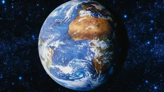
India's Eyes in the Sky
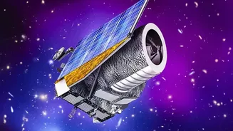
India operates one of the largest constellations of remote sensing satellites in the world. This ambitious programme, spearheaded by the Indian Space Research Organisation (ISRO), began with the launch of the first Indian Remote Sensing (IRS) satellite,
IRS-1A, in 1988. Since then, a sophisticated network of satellites, including the Cartosat, Resourcesat, and RISAT series, has been placed in orbit. These are not for show; each satellite is designed with a clear, application-oriented focus. The data they collect is received and processed by centres like the National Remote Sensing Centre (NRSC) in Hyderabad, which turns raw imagery into actionable intelligence for a vast range of national applications.
A Farmer's Friend in Orbit
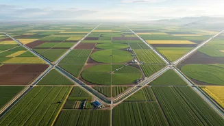
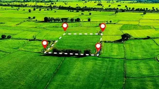
For India's agricultural sector, satellites are powerful allies. Data from missions like Resourcesat helps in forecasting crop yields with remarkable accuracy. By analysing images taken over time, experts can estimate acreage for major crops like wheat, rice, and cotton. This information is vital for ensuring food security and stabilising market prices. Furthermore, satellite data helps in monitoring soil moisture and assessing agricultural drought conditions, allowing authorities to implement mitigation strategies sooner. Specialised programs use this space-based information to provide advisories to farmers, helping them make informed decisions about irrigation and crop management.
First Responders in a Crisis
When disaster strikes, speed and information are critical. ISRO's Disaster Management Support Programme leverages satellite data to provide near real-time support during emergencies like floods, cyclones, and landslides. For example, satellites can map the extent of flood inundation, identifying marooned villages and helping disaster response teams from the NDRF plan rescue operations more effectively. Radar imaging satellites like RISAT are particularly crucial as they can see through clouds and darkness, providing uninterrupted coverage when it is needed most. This capability is also used to monitor landslide-prone areas and provide early warnings.
Building Smarter, More Resilient Cities
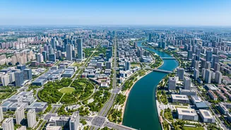
India is undergoing rapid urbanisation, and satellites are playing a key role in managing this growth. High-resolution imagery from the Cartosat series, often called India's 'eye in the sky', is used for detailed urban planning. Planners use this data to create accurate base maps, monitor unauthorised construction, and plan new infrastructure like roads and water pipelines. By comparing images taken over several years, officials can track urban sprawl and ensure development is sustainable. This data-driven approach, often integrated with Geographic Information System (GIS) technology, helps in building smarter and more resilient cities for the future.
Guarding the Nation's Resources and Borders
Beyond civilian applications, Earth observation satellites are vital for national security and resource management. They are used for cartographic applications, coastal land use monitoring, and managing utilities. Satellites help in creating detailed topographic maps and monitoring India's vast forests and water resources. They can detect illegal logging or encroachment in protected areas. High-resolution images from satellites like the Cartosat series are also dual-use, providing crucial intelligence for defence and strategic purposes, helping to monitor coastlines and borders. This comprehensive surveillance capability underscores the strategic importance of India's space assets.