






Understanding the EOS Mission
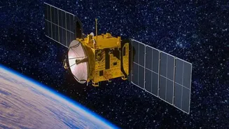
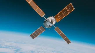
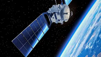
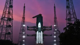
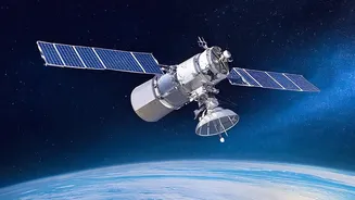
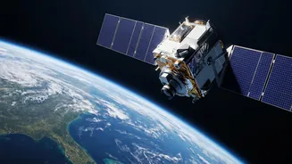
The Earth Observation Satellite program is one of ISRO's cornerstone projects, designed to provide a comprehensive, bird's-eye view of India's land, oceans, and atmosphere. While the headline focuses on EOS-05, a satellite recently launched into a geosynchronous
orbit, it is part of a larger family of satellites, each with a specific job. Some, like the recently successful EOS-06 (also known as Oceansat-3), operate in different orbits to achieve other goals. Together, these satellites form a powerful network that gathers crucial data for everything from weather forecasting to urban planning. Think of them not as individual spies, but as a team of analysts in the sky, constantly collecting information to help us better manage our world. The program is a testament to India’s growing prowess in space technology and its focus on using that technology for national development.
The Power of the Orbit
A satellite's orbit is just as important as the instruments it carries. The EOS family uses different types of orbits for different tasks. Many EOS satellites are placed in a Sun-synchronous polar orbit (SSPO). Imagine a guard walking a patrol route that covers the entire globe from pole to pole. Now, imagine that guard passes over every spot on their route at the exact same local time each day—say, 10:30 AM. This is what an SSPO enables. By passing over a location with the same sun angle every time, the satellite's images are consistent, making it easy to spot changes over days, weeks, or years. This is incredibly useful for monitoring crop growth, glacial melt, or urban expansion. In contrast, a satellite like EOS-05 is in a geosynchronous orbit, which allows it to stay over the same general region of the Earth, providing constant surveillance of a large area rather than brief passes. This is ideal for continuous weather monitoring or strategic observation.
A Boost for Farmers and Food Security
For a nation where agriculture is the backbone of the economy, the data from EOS satellites is revolutionary. By using multispectral cameras, these satellites can assess crop health from space. They can detect early signs of stress from pests, diseases, or lack of water, allowing farmers to intervene before a crop is lost. This data also helps create highly accurate maps for precision agriculture, enabling farmers to apply fertilisers and water only where needed, saving resources and reducing environmental impact. Furthermore, by monitoring soil moisture and vegetation health over large areas, the satellites provide critical information for drought assessment and management, helping authorities plan for and mitigate the effects of water scarcity on food production.
Sharpening Disaster Management
When natural disasters strike, timely and accurate information is the most valuable resource. ISRO's EOS satellites provide just that. During floods, their imagery can map the extent of the inundation, even through cloud cover using radar instruments, identifying the worst-hit villages and infrastructure. This allows disaster response teams to direct rescue and relief efforts more effectively. The same applies to forest fires, cyclones, and landslides. By comparing images taken before and after an event, authorities can quickly assess the scale of the damage and plan recovery operations. Satellites like EOS-06, with its ocean-monitoring payloads, are crucial for providing advanced warnings for cyclones by tracking sea surface temperature and wind speeds, giving coastal communities precious time to prepare.
Guarding the Nation's Interests
Beyond civilian applications, the high-resolution imagery from the EOS program plays a vital role in bolstering national security. The ability to monitor vast stretches of land and sea provides crucial intelligence for border surveillance and maritime domain awareness. Satellites in geosynchronous orbit, like the recently launched EOS-05, can provide a persistent watch over a region of interest, a capability that is invaluable for strategic monitoring. These 'eyes in the sky' can detect changes in remote border areas, track vessel movements in the Indian Ocean, and provide high-quality imagery for strategic planning. This dual-use capability makes the EOS program a critical asset for safeguarding India’s sovereignty and its strategic interests in a complex geopolitical landscape.