





What Is Remote Sensing?
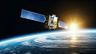
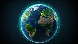
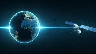
At its core, remote sensing is the science of gathering information about the Earth's surface without being in direct contact with it. Think of it as using highly advanced cameras and sensors on satellites or aircraft to take pictures of our planet. These
sensors capture energy that is reflected or emitted from objects on the ground. Different materials—like water, healthy crops, dry soil, or mineral deposits—have unique signatures, allowing scientists and analysts to interpret this data for a huge range of practical uses. India, through the Indian Space Research Organisation (ISRO), has one of the world's largest constellations of remote sensing satellites, making it a global leader in this field.
A Geospatial Boom in India
The demand for geospatial analytics in India is exploding. The market was valued at USD 1.81 billion in 2026 and is projected to grow to USD 3.55 billion by 2031, expanding at a compound annual growth rate (CAGR) of over 14%. This surge is powered by several factors. The Indian Space Policy 2023 has significantly liberalised the sector, encouraging private companies (Non-Governmental Entities or NGEs) to participate in end-to-end space activities, including remote sensing. This policy also makes a vast amount of archived satellite data from ISRO available on a 'free and open' basis, fueling innovation. Initiatives like PM Gati Shakti, the Smart Cities Mission, and digital agriculture projects are heavily reliant on geospatial data, creating a massive demand for skilled professionals.
Which Sectors Are Hiring?
A qualification in remote sensing opens doors to a surprisingly diverse range of industries. Agriculture is a primary driver, using satellite data for crop forecasting, monitoring drought conditions, and assessing soil health for precision farming. Disaster management agencies rely on it for early warnings and real-time damage assessment during floods, cyclones, and landslides. Urban planning and infrastructure development use this technology to monitor land use changes, plan new transport corridors, and manage smart city projects. Other key sectors include environmental monitoring, water resource management, forestry, mineral prospecting, and national defense.
The Skills That Matter
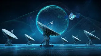
A course in remote sensing typically covers the fundamentals of how satellite imagery works, data processing, and analysis. However, to truly stand out, professionals should aim to build a broader skill set. Proficiency in Geographic Information Systems (GIS) software like ArcGIS and QGIS is essential, as these are the tools used to analyse and visualise spatial data. Furthermore, combining remote sensing knowledge with data science, artificial intelligence (AI), and machine learning is becoming increasingly critical. Companies are looking for professionals who can not only process satellite images but also build analytical models and dashboards that provide actionable insights. A background in a specific domain, like agriculture or civil engineering, can be a significant advantage.
Finding the Right Course
For professionals looking to upskill, there are numerous avenues. The Indian Institute of Remote Sensing (IIRS) in Dehradun, part of ISRO, is the country's premier institution and offers a variety of courses, from short-term programmes for decision-makers to more in-depth technical training. Many of these are now available through e-learning platforms, making them accessible to working professionals. Several universities and institutes across India, such as the IITs and Anna University, also offer postgraduate degrees and diplomas in remote sensing and geoinformatics. With the growing demand, many private ed-tech platforms and institutes are also providing specialised courses focused on GIS software and data analysis.