



A New Eye in the Sky
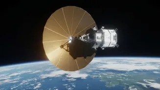
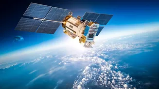
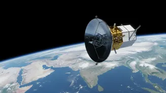
The NASA-ISRO Synthetic Aperture Radar, or NISAR, is one of the most advanced Earth-observation satellites ever built. As a joint effort between the Indian Space Research Organisation (ISRO) and the U.S. National Aeronautics and Space Administration (NASA),
it represents a monumental partnership in space science. Launched from India, NISAR's primary mission is to systematically map our planet, observing some of its most complex processes, from the slow creep of a glacier to the sudden shift of an earthquake. Unlike traditional optical satellites that function like a camera and are often blinded by clouds or darkness, NISAR uses radar to create its images, giving it an all-weather, day-and-night capability that is crucial for consistent monitoring.
The Magic of Cloud-Penetrating Radar
At the heart of NISAR are two types of Synthetic Aperture Radar (SAR): an L-band system built by NASA and an S-band system from ISRO. This dual-frequency approach is a first for satellite radar imaging. SAR works by sending microwave pulses towards the Earth's surface and then reading the signals that bounce back. By processing these return signals, it can build up a detailed, high-resolution picture. The longer L-band wavelength is excellent for penetrating forest canopies to see the ground below, while the S-band is particularly effective for monitoring things like crop cover and soil moisture. For a country like India, where the monsoon season blankets large areas in cloud for months, this ability to see through atmospheric conditions is a game-changer for science.
Why Daily Data is Revolutionary
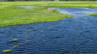
While radar satellites are not new, the sheer frequency of NISAR's observations is what makes it revolutionary. The satellite is designed to image the entire planet every 12 days, but its observation plan allows for much more frequent, even daily, revisits of specific areas. This rapid refresh rate transforms the data from a series of static snapshots into something more like a near-real-time movie of the Earth's surface. Scientists can move from simply noting that a change has occurred to understanding the dynamics of how it happens. This is vital for tracking fast-moving events like floodwaters receding, landslides progressing, or the immediate aftermath of an earthquake. Furthermore, all NISAR data is set to be freely available to the public within a day or two of being captured, and even faster in emergencies, democratising access to this powerful information.
Transforming Science and Safety in India
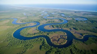
For Indian scientists, NISAR provides an unprecedented tool to study a range of national priorities. The S-band radar, contributed by ISRO, is specifically tailored to meet India's scientific goals. This includes creating precise maps of agricultural land to monitor crop health and soil moisture, which is vital for food security. Researchers will also use the data to study the health of Himalayan glaciers, whose meltwater is a critical resource for millions. The ability to detect tiny movements in the Earth's crust will enhance landslide and earthquake monitoring. On the coasts, the satellite will track shoreline changes and erosion, providing crucial data for planning and disaster management. ISRO has already begun releasing S-band data to the public through its Bhoonidhi portal.
A Global Watchdog for a Changing Planet
The benefits of NISAR extend far beyond any one nation's borders. The comprehensive, consistently updated map of the planet will help scientists everywhere track the global impacts of climate change. This includes monitoring the rapid melting of ice sheets in Greenland and Antarctica, studying deforestation in the Amazon, and measuring the subsidence of coastal cities around the world. In the event of a natural disaster, like a volcanic eruption or a major flood, NISAR can provide emergency responders with rapid damage assessments, helping to save lives and direct resources more effectively. By providing a baseline of Earth's dynamics, the mission will improve our ability to model future changes and manage natural resources more sustainably.