






Decoding GRITSS: A New Yardstick in Orbit
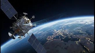
GRITSS, which stands for Geodetic Reference Instrument Transponder for Small Satellites, is a recently launched NASA technology demonstration mission. Contained within a satellite roughly the size of a suitcase, its job is far from small. The mission's
primary goal is to fundamentally improve the accuracy of the International Terrestrial ReferenceFrame (ITRF), the globally-agreed-upon system for defining locations on Earth. Think of the ITRF as the ultimate blueprint of our planet, a foundational grid upon which nearly all modern navigation, mapping, and Earth science is built. For decades, tiny errors in this frame have been an accepted limitation; GRITSS was designed to eliminate them.
The Millimetre Problem
The world's geodetic data comes from three main, independent techniques: Global Navigation Satellite Systems (GNSS) like GPS, Satellite Laser Ranging (SLR) which bounces lasers off orbiting objects, and Very Long Baseline Interferometry (VLBI) which uses radio telescopes to observe distant quasars. While incredibly powerful, these systems have historically spoken slightly different languages. Combining their data required ground-based surveys to tie the different instruments together, a process that introduces small but significant errors, often at the millimetre level. This might not sound like much, but when you are trying to measure sea-level rise or the slow creep of tectonic plates, millimetres matter immensely. These discrepancies can obscure the very signals scientists need to detect.
A Unified Reference in the Sky
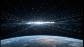
GRITSS solves the millimetre problem by acting as a single, common reference point in space that all three systems can observe simultaneously. The satellite carries a unique payload. A modified GPS receiver captures navigation signals and upconverts them in real-time into S-band and X-band frequencies that VLBI radio dishes on the ground can read. It also carries a traditional laser retroreflector, making it a target for SLR stations. By being a single object that can be tracked by all three otherwise separate networks, GRITSS provides a direct, space-based link between them. This eliminates the need for imperfect ground surveys and allows for a more cohesive and accurate global reference frame.
From a Better Map to Better Decisions
The headline's promise is that GRITSS connects data to 'real decisions', and while the satellite itself doesn't make policy, it provides the rock-solid data integrity required for informed choices. A more accurate ITRF enhances virtually every field of Earth science. It allows for more precise tracking of subtle changes in water resources, ice sheets, and land masses. This improved accuracy is critical for refining climate models, understanding ocean cycles like El Niño, and projecting future sea-level rise with greater confidence. It provides a highly stable baseline for future topography missions that will map our planet's surface in unprecedented detail. In essence, GRITSS doesn't just improve the map; it improves the reliability of every piece of information placed upon it.
The Impact for India
For a nation as geographically diverse and dynamic as India, the implications are profound. More precise geospatial data can transform urban planning and infrastructure development in fast-growing cities, enabling smarter decisions on everything from public transport to utility placement. In agriculture, enhanced location intelligence can lead to better resource management and precision farming techniques. For environmental monitoring, the benefits are even clearer. A globally consistent framework allows for more accurate tracking of Himalayan glacier melt, changes in monsoon patterns, groundwater depletion, and coastal erosion. This empowers Indian scientists and policymakers to move from simply observing change to proactively managing its impacts with data they can trust.