







Bengaluru’s Wake-Up Call
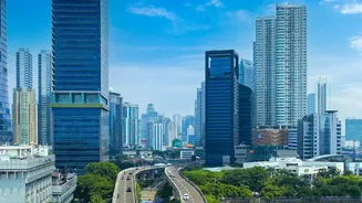
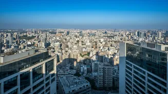
Bengaluru’s transformation into a concrete jungle has been well-documented. Studies, including a notable one from the Indian Institute of Science (IISc), have repeatedly sounded the alarm. One study highlighted that paved, impervious surfaces had increased
to cover 78% of the city, drastically reducing the ground's ability to absorb rainwater. This rapid, often unplanned, urbanisation has come at a steep cost. The city has lost a staggering 79% of its water bodies and 88% of its vegetation over the last few decades. These wetlands and green spaces once acted as natural sponges. Now, with them gone, rainwater has nowhere to go. This issue is compounded by the encroachment of floodplains and the city's critical network of stormwater drains, or 'rajakaluves'. The result is frequent, severe flooding in areas that were once dry, turning a city known for its pleasant climate into a recurring case study for urban flooding.
Why Elevation Is Everything
Bengaluru sits at an average elevation of 920 metres above sea level, on a ridge that historically allowed for excellent natural drainage through a series of interconnected valleys and lakes. However, city-wide averages can be misleading. Within the city, there are numerous low-lying areas and valleys. These are the natural collection points for water. As the city expanded, many of these depressions and the buffer zones around lakes and drains were built upon. Studies show that properties in these low-lying areas are disproportionately affected by waterlogging. A few feet of elevation can mean the difference between a dry home and a submerged ground floor. Elevation determines where water will flow and where it will pool during heavy rainfall. When natural drainage paths are blocked by construction and impermeable surfaces like concrete and asphalt dominate, the lowest points in any locality inevitably bear the brunt of the runoff.
A Nationwide Urban Crisis
While the focus is often on Bengaluru, this is not a unique problem. From Mumbai and Chennai to Delhi and Kolkata, urban flooding is an annual, paralysing event across India. The root causes are strikingly similar: outdated drainage systems, rampant and unplanned construction, the disappearance of urban lakes and wetlands, and an increase in extreme rainfall events. Mumbai's colonial-era drains are no match for modern rainfall intensity, and in Chennai, the loss of floodplains to development has had devastating consequences. The lessons from Bengaluru's struggle with elevation and waterlogging are universally applicable to any prospective homebuyer in an Indian metropolis. The pressure for housing has pushed development into geographically vulnerable areas, making individual due diligence more critical than ever.
Your Pre-Purchase Flood Risk Checklist
Before investing your life savings into a property, a few checks can save you from financial ruin and perpetual monsoon misery. First, assess the plot's basic topography. Is it visibly the lowest point on the street or in the neighbourhood? Look at the surrounding land. Second, use online tools to check elevation. Websites and apps can provide detailed elevation data, including contour lines for any plot in India, helping you understand the terrain objectively. Third, investigate the property's proximity to lakes and stormwater drains (rajakaluves). Be aware of buffer zone regulations, as construction in these protected areas is illegal and carries a risk of demolition. Fourth, check historical data. Look at satellite imagery from past monsoons and consult municipal flood zone maps. Finally, talk to people. Existing residents in the area are your best source of ground truth on whether a neighbourhood floods regularly.
Beyond the Individual: The Need for Better Planning
While individual buyers must be cautious, the ultimate solution lies in better urban governance. Cities need to shift from a reactive to a proactive approach to flood management. This involves strictly enforcing buffer zone rules around water bodies, halting encroachments, and investing in the restoration of lakes and wetlands. Bengaluru authorities have recently discussed stricter measures, such as a ban on construction near rajakaluves and demolishing unauthorised structures. Modernising and expanding stormwater drainage infrastructure is crucial. Integrated urban planning that respects the natural topography and hydrology of a region is the only way to build resilient cities that can withstand the challenges of climate change and continued urban growth.