


Why Your Usual Weather App Is Not Enough
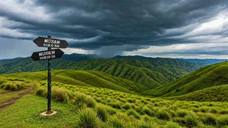
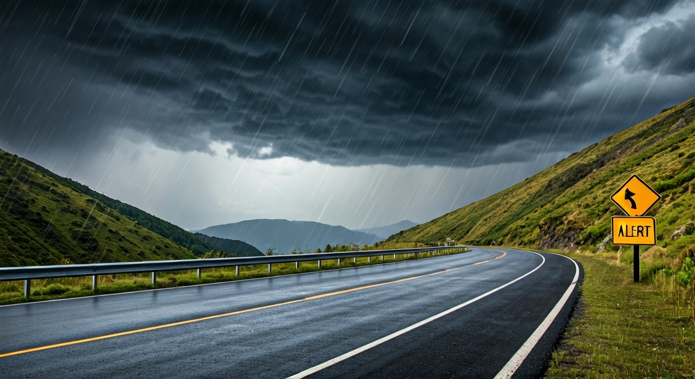
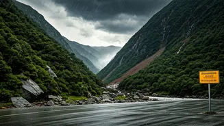
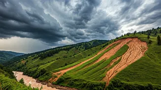
A national or city-wide weather forecast might predict 'heavy rain', but it won't tell you about the specific gully that’s about to flood or the hillside at risk of a sudden landslide. Monsoon hazards are often intensely localized and can develop with
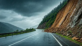
frightening speed. Events like flash floods, roadblocks, and landslides are micro-level dangers that a broad forecast can easily miss. As seen in the recent heavy rains across Northeast India in late June, conditions can change from scenic to treacherous in a matter of hours, cutting off roads and isolating areas. This is where hyper-local tracking becomes not just a convenience, but a critical safety tool. It bridges the gap between knowing it will rain and understanding what that rain will do to the immediate environment you are in.
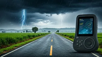
Harness the Power of Official Indian Alerts
The Indian government has developed a suite of powerful mobile applications designed specifically for its unique weather challenges. These should be your first line of digital defence. Start by downloading MAUSAM, the official app of the India Meteorological Department (IMD). It provides district-level warnings using a simple colour-coded system (Red, Orange, Yellow), seven-day forecasts for hundreds of cities, and crucial three-hourly 'nowcasts' for localized phenomena. For a more specific threat, the DAMINI app is essential. Developed by the Indian Institute of Tropical Meteorology, it provides targeted alerts if lightning is detected within a 20 to 40-kilometre radius of your phone's location, a vital tool for trekkers and anyone outdoors.
The Ultimate Safety Net: NDMA's SACHET App
For comprehensive disaster preparedness, the National Disaster Management Authority's (NDMA) SACHET app is a must-have. Think of it as an all-encompassing alert system. It goes beyond weather, providing real-time, geo-targeted warnings for floods, landslides, cyclones, and other natural calamities. Its key advantage is that it sources information directly from authorised government agencies. The app is available in over a dozen Indian languages and, most importantly, is designed with satellite connectivity, meaning it can still deliver life-saving alerts even if local mobile networks fail during a disaster. By subscribing to alerts for the specific districts on your itinerary, you get tailored information that is relevant to your precise location.
Layering Your Information for the Road
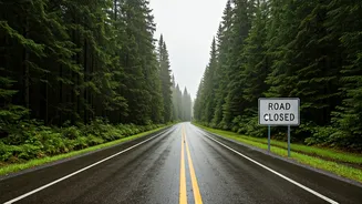
Official apps are the foundation, but a smart traveller uses every tool available. Before you start your journey, use Google Maps or similar navigation apps to download offline maps for your entire route. While on the road, keep the live traffic layer active. This provides real-time, crowd-sourced data on road closures, diversions, and slowdowns, which are often the first signs of a weather-related disruption. Also, make it a habit to check the social media pages (like X or Facebook) of local district police and administration offices. During an emergency, these channels are often used to disseminate immediate, practical information about road blockages and safe alternative routes faster than traditional news media.
Don’t Forget the Human Element
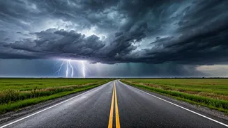
Technology is a powerful ally, but it’s no substitute for on-the-ground intelligence and common sense. Your best real-time updates will often come from the local community. Talk to your hotel staff, taxi drivers, and local shopkeepers. Ask them about the condition of the roads you plan to take. They have an intimate understanding of the area and will know which routes are prone to flooding or which bridges are unreliable during heavy downpours. They might advise you to leave earlier, take a different route, or postpone your travel altogether. This local knowledge is an invaluable layer of safety that no app can fully replicate. If you see a blocked road or a rising stream, turn back. No travel schedule is worth risking your safety.