

A New Treasure Map for the Moon
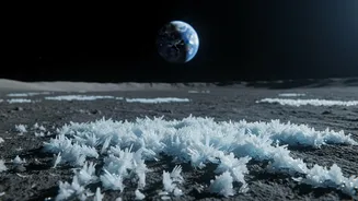
For decades, scientists have known that the Moon wasn't the completely dry, barren world it first appeared to be. Evidence has steadily mounted for the presence of water, particularly in the form of ice tucked away in permanently shadowed regions (PSRs)
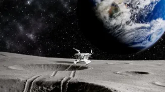
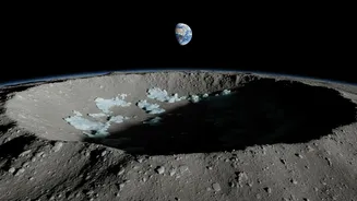
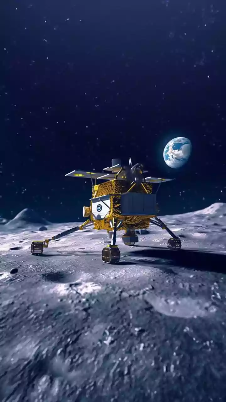
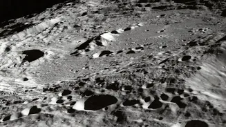
at the lunar poles. These are craters and depressions so deep that they haven't seen direct sunlight in billions of years, making them cold enough to trap frozen water. However, a new generation of mapping, including data from NASA's retired SOFIA observatory and other advanced techniques, has created the most detailed picture yet of water distribution near the South Pole. This isn't just a confirmation that water exists; it’s a high-resolution guide showing where the highest concentrations are, moving it from a theoretical resource to a specific target. This mapping effort is crucial for upcoming missions like NASA's Volatiles Investigating Polar Exploration Rover (VIPER), which is designed to be the first resource-mapping mission on another world.
Why 'Accessible' Is the Key Word
Previously, the dominant theory was that most lunar ice was locked deep inside the coldest, darkest, and most treacherous craters. Accessing these PSRs would be an immense technical challenge for rovers and astronauts, requiring them to navigate extreme cold and perpetual darkness. The latest maps and studies, however, suggest that significant quantities of water ice may also exist in more accessible locations. This includes areas on the shadowed sides of crater rims and mountains, not just at the bottom of deep craters. Some studies even point to techniques using seismic waves from moonquakes or rover drills to detect buried ice that isn't visible on the surface, which would dramatically expand the search area. This changes the entire strategic approach to lunar settlement. Instead of high-risk missions into dangerous craters, future explorers could potentially 'mine' water from locations that are easier and safer to reach, revolutionizing mission planning.
From Ice to Rocket Fuel and Oxygen
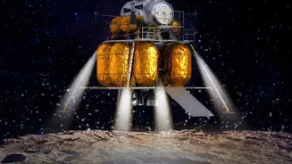
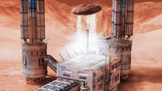
The excitement isn't just about giving astronauts something to drink. The presence of accessible water is a complete game-changer because of its versatility. Through a process called electrolysis, water (H2O) can be split into its component parts: hydrogen and oxygen. The oxygen can be used to create breathable air for habitats, while the hydrogen and oxygen together form a potent rocket propellant. This concept, known as in-situ resource utilization (ISRU), is the cornerstone of making space exploration sustainable. Being able to refuel rockets on the Moon would dramatically reduce the cost and complexity of missions. Instead of launching everything from Earth—a costly and inefficient process—a lunar outpost could become a self-sufficient refueling station, a true stepping stone for missions deeper into the solar system, including Mars.
Accelerating the Artemis Generation
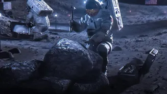
This new understanding of lunar water directly impacts NASA's Artemis program, which aims to establish the first long-term human presence on the Moon. The success of Artemis hinges on the ability to live off the land, and these water ice maps are essentially blueprints for where to set up camp. By identifying prime locations that have both access to water resources and adequate sunlight for power, mission planners can make much smarter decisions about where to send astronauts and build habitats. The data helps mitigate one of the biggest risks and costs associated with a sustained lunar presence: the dependence on supplies from Earth. With a clearer picture of where to find this vital resource, the vision of bustling lunar outposts, scientific research stations, and a permanent human foothold on our celestial neighbor moves from the realm of science fiction firmly into the realm of strategic planning.