




The Upstream Catastrophe
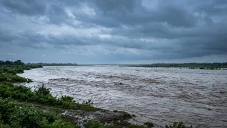
On August 26, 2026, a massive wall of water, mud, and debris tore through the Bhote Koshi-Trishuli river basin in northern Nepal, originating near the border with Tibet. The flash flood struck with terrifying speed around 9:00 AM, overwhelming settlements
like Timure and Syabrubesi in the Rasuwa district. The deluge swept away homes, bridges, and critical hydropower plants, causing a devastating loss of life and leaving hundreds missing, including many tourists and local workers. Initial reports suggest the disaster was not caused by heavy rainfall, but by a geophysical event high in the mountains. Authorities are investigating whether an earthquake triggered a massive ice and rock avalanche, which then blocked a river, or if it was a Glacial Lake Outburst Flood (GLOF).
The Science of the Surge
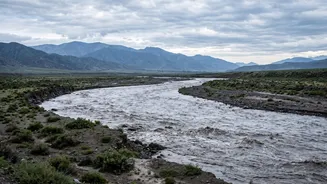
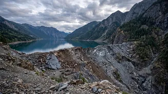
The danger lies in the formation of temporary, unstable dams. The Himalayas are a geologically active and fragile environment. During the monsoon, landslides are common. A large landslide can completely block a river valley, causing water to accumulate rapidly behind it, forming a new lake. These natural dams, made of loose rock and soil, are incredibly unstable compared to engineered concrete structures. Similarly, a GLOF occurs when the moraine wall containing a glacial lake fails. The trigger for a breach can be rising water pressure, another landslide crashing into the lake, or an earthquake. When the natural dam fails, it releases the entire volume of impounded water in a single, catastrophic burst. This surge is not just water; it's a thick, fast-moving slurry of mud, boulders, and debris that scours the river valley with immense destructive power, leaving little time for downstream evacuation.
The Downstream Path to India
The geography of the region creates a direct and perilous connection between Nepal's highlands and India's plains. The Trishuli river system, where the recent disaster unfolded, flows south and eventually becomes the Gandak River (also known as the Narayani) upon entering India. This river courses through large, densely populated areas of Bihar and Uttar Pradesh. Consequently, a disaster originating in Nepal's Rasuwa district poses a direct threat to districts like West Champaran, East Champaran, Gopalganj, Muzaffarpur, Kushinagar, and Maharajganj in India. While the flood peak weakens as it travels hundreds of kilometres, the sheer volume of water can inundate low-lying areas, breach embankments, and cause widespread flooding far from the initial event.
Racing Against Time: Warnings and Preparedness
In response to the tragedy in Nepal, authorities in Bihar and Uttar Pradesh have been placed on high alert. Officials are closely monitoring water levels at key points like the Valmikinagar Barrage on the Gandak River. Teams from the National Disaster Response Force (NDRF) have been deployed to vulnerable districts, and public announcements have been made to warn residents in low-lying areas. Some evacuations have already taken place in villages near the river. This event highlights the critical importance of the real-time hydrological data-sharing agreement between India and Nepal. Swift communication about upstream river levels and discharges is the most crucial tool for providing downstream communities with a precious window of warning to prepare and move to safer ground. However, the suddenness of events like GLOFs and landslide dam breaks remains a major challenge for even the most robust early warning systems.