

Seeing More Than Green
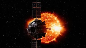
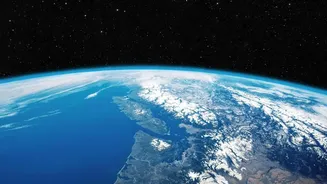
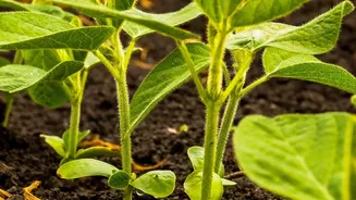
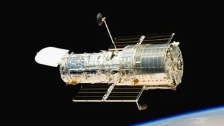
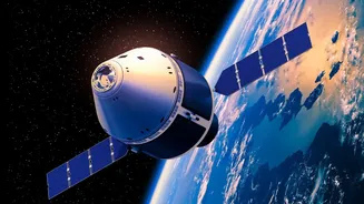
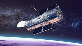
When we look at a plant, we see green. But an Earth observation (EO) satellite sees a complex language of light. These satellites are equipped with multispectral sensors that capture wavelengths far beyond what the human eye can perceive, particularly
in the near-infrared (NIR) spectrum. Healthy, thriving plants are masters of light manipulation. Their chlorophyll pigments absorb red light for photosynthesis but strongly reflect near-infrared light. Stressed or unhealthy plants, on the other hand, do the opposite. This simple principle is the key to how satellites can diagnose plant health from hundreds of kilometres away. By comparing the amount of red light absorbed to the amount of NIR light reflected, scientists can create a 'greenness' score for every patch of land.
The Power of NDVI
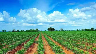
The most common tool for this analysis is the Normalized Difference Vegetation Index (NDVI). It's a straightforward calculation using satellite data: (NIR - Red) / (NIR + Red). The resulting value, ranging from -1 to +1, provides a clear indicator of vegetation density and health. A high NDVI value (close to +1) signifies lush, dense, and healthy vegetation. A low value near zero suggests sparse or stressed plants, while negative values typically represent water or barren land. For farmers and environmental managers, an NDVI map is like a diagnostic chart for the landscape. Colour-coded maps instantly reveal which areas are thriving (dark green) and which are struggling (yellow or red), often flagging problems like drought stress, disease, or nutrient deficiencies weeks before they become visible to the naked eye.
A Health Check-Up From Orbit
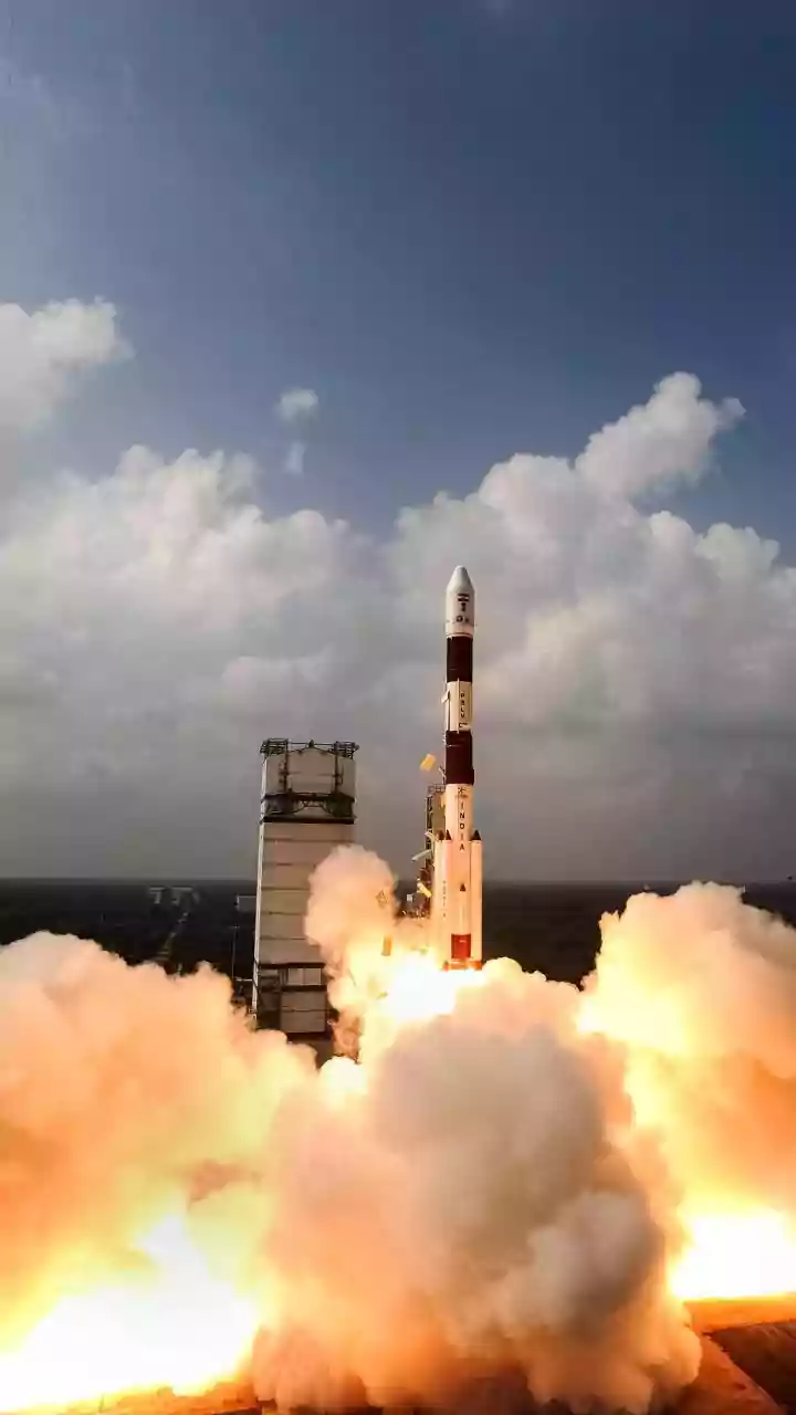
This technology is revolutionising agriculture in India and around the world. Since the launch of its first operational remote sensing satellite in 1988, India has used this data for a wide range of applications, including crop production forecasting, drought assessment, and precision farming. Farmers can use satellite insights to apply water and fertilizer more efficiently—a practice known as variable-rate application—by targeting only the struggling zones in a field. This not only saves resources but also improves crop yields. Beyond just health, satellites equipped with Synthetic Aperture Radar (SAR) can even monitor crops through clouds and at night, providing crucial information on soil moisture and tracking crop growth cycles from sowing to harvest.
Listening to Plants Photosynthesise
The latest frontier in satellite monitoring is even more subtle. Scientists can now detect Solar-Induced chlorophyll Fluorescence (SIF), a faint glow that plants emit during photosynthesis. This signal is a direct indicator of photosynthetic activity. When a plant is stressed—by drought, for example—its rate of photosynthesis slows down, and this faint glow diminishes before there are any other visible signs of distress. Missions like the European Space Agency's FLEX satellite, which launched in September 2026, are specifically designed to map this fluorescence globally. This data provides an unprecedented, near-instantaneous measure of plant health and productivity, offering a powerful tool for monitoring drought and understanding how ecosystems respond to climate change.
Guardians of Global Ecosystems
The applications of this technology extend far beyond the farm. For environmental scientists and governments, EO satellites are indispensable tools for managing our planet's natural resources. They provide consistent, large-scale data for tracking deforestation, especially in remote areas like the Amazon. By comparing images over time, authorities can detect illegal logging and monitor the health of vital carbon sinks. This data also helps in assessing wildfire risk by identifying areas with dry, stressed vegetation. After a fire, satellites can map the extent of the damage and monitor the ecosystem's recovery. On a global scale, this continuous stream of information is crucial for understanding the carbon cycle and the widespread impact of climate change on the world's vegetation.