





A Tectonic Collision Course
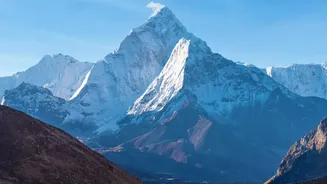
At the heart of Nepal's vulnerability is its location on a massive geological fault line. The country sits where the Indian tectonic plate is constantly pushing northward into the Eurasian plate at a rate of about 4 to 5 centimetres per year. This slow-motion
collision is what has pushed up the Himalayas over millions of years. However, this process is not smooth; the plates get stuck, and immense stress builds up. When this accumulated stress is suddenly released, the result is a powerful earthquake. This fundamental tectonic activity is the primary engine behind the region's seismic hazard, making large earthquakes a permanent and unpredictable risk.
When the Ground Itself Is a Hazard
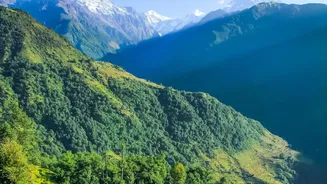
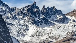
The impact of an earthquake is not just about the shaking; it is about how the landscape responds. Nepal's mountainous terrain, with its steep slopes and deep valleys, dramatically amplifies these events. Shallow earthquakes, like the devastating 7.8 magnitude Gorkha quake in 2015, are particularly destructive because the energy is released closer to the surface. In valleys like Kathmandu, which sits on a deep basin of ancient lake sediments, seismic waves are amplified, much like ripples in a bowl of jelly, increasing the intensity and duration of the shaking. This turns the ground itself into a threat, leading to more widespread building collapse and destruction than would occur on solid bedrock.
The Double Trigger for Landslides
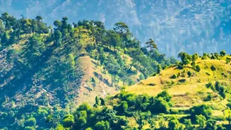
In the Himalayas, earthquakes and landslides are dangerously linked. The violent shaking from a tremor can destabilize entire mountainsides, triggering thousands of landslides in a single event. The 2015 earthquake, for example, is known to have caused over 3,000 landslides. But earthquakes are not the only trigger. The annual monsoon, which brings about 80% of Nepal's yearly rainfall, is the other major culprit. Heavy rains saturate the steep, fragile slopes, increasing their weight and reducing friction, making them prone to collapse. The combination of tectonically weakened slopes and intense rainfall creates a year-round landslide threat that can block roads, dam rivers, and bury entire communities.
Water's Fury: Floods of Ice and Rain
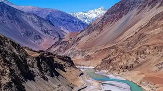
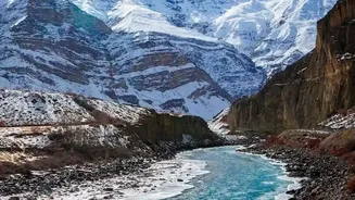
Flooding in Nepal takes on unique and catastrophic forms due to its landscape. Beyond the monsoon-swollen rivers, two specific threats stand out. The first is Glacial Lake Outburst Floods (GLOFs). As climate change accelerates the melting of Himalayan glaciers, vast lakes form, often held back only by unstable walls of rock and soil called moraines. If this natural dam is breached by an earthquake, landslide, or simply the pressure of the rising water, it can release a devastating wall of water and debris downstream. The second threat is flash floods caused by landslides blocking rivers. When a landslide creates a temporary dam, water builds up behind it. The eventual failure of this dam unleashes a sudden, powerful surge that can be even more destructive than a rain-fed flood because it carries a huge volume of mud and rock.
A Cascade of Catastrophes
The deadliest disasters in Nepal are often not a single event, but a chain reaction. An earthquake triggers landslides. A landslide blocks a river, leading to a massive flood. A glacial lake bursts, wiping out downstream infrastructure like bridges and hydropower plants. This cascading effect means that the risks are compounded at every step. The steep, narrow valleys that characterise the Himalayas channel these forces with terrifying speed and power, leaving little time for warning or escape. Unplanned road construction and the expansion of settlements into hazardous areas further increase the exposure of people and infrastructure to these interconnected threats.